Alert
Alerts
Plan d'eau de Château-Larcher


Description
At the foot of the remains of the medieval Château-Larcher castle, the Val de Clouère lake (2nd category) covers 2.2 hectares.
Open from the 2nd Saturday in March to the last Sunday in November inclusive.
Fishing permit required.
A federally-designated "Family Course" and shared fishing area.
Technical Information
Altimetric profile
Additional information
Contact
Fixed telephone : +33 5 49 37 66 60
e-mail : contact@peche86.fr
Web site (URL) : www.peche86.fr/
Typologie d'activités et de loisirs
Fishing lake
Equipements
Accessible by stroller
Picnic area
Ablutions
Réseaux sociaux
Facebook : www.facebook.com/federationdepeche86/
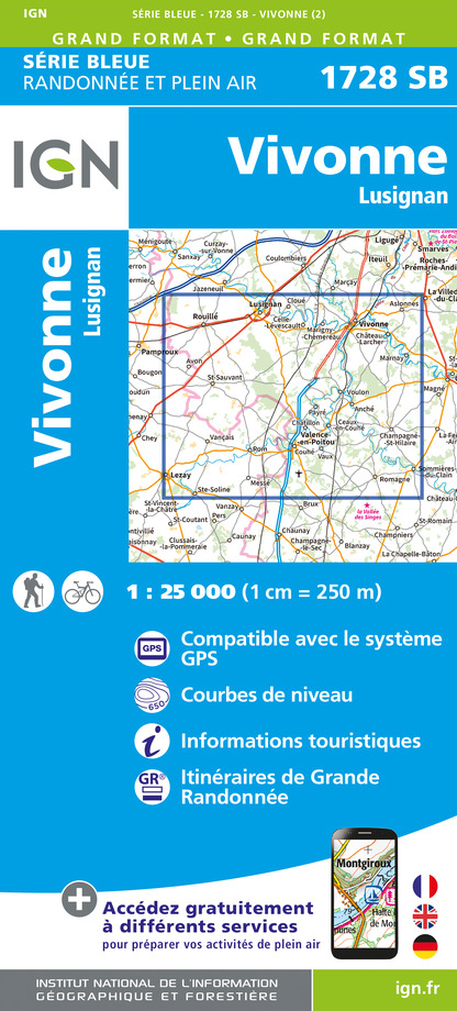
IGN cards


Data author


