Alert
Alerts
Description
Map
Ratings and reviews
See around
L'étang de Waligny (The Waligny pond)


Description
The Walligny pond is part of the basin in the catchment area of the river Canche which has a large number of alluvial wet zones. The site is disconnected from the river Canche which is now well canalised. This site plays the role of retention basin thus limiting flooding during heavy rainfall. This site was modified by man for a long time, but today it has regained its wild state, which is what makes it unique.
Natural heritage : 48 species of animal (2 of which are of heritage interest). 146 species of vegetation (2 of which are of heritage interest).
Access : open to the public but limited visitors
Technical Information
Lat, Lng
50.2812572.257279
Coordinates copied
Point of Interest updated on 14/08/2024
Altimetric profile
IGN cards

2306SB - SAINT-POL-SUR-TERMOISE FRÉVENT
Editor : IGN
Collection : TOP 25 ET SÉRIE BLEUE
Scale : 1:25 000
13.90€

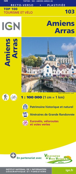
103 AMIENS ARRAS
Editor : IGN
Collection : TOP 100
Scale : 1:100 000
8.40€

101 LILLE CALAIS LE TOUQUET-PARIS-PLAGE PNR DES CAPS ET MARAIS D'OPALE
Editor : IGN
Collection : TOP 100
Scale : 1:100 000
8.40€

D60-80 OISE SOMME
Editor : IGN
Collection : CARTES DÉPARTEMENTALES IGN
Scale : 1:150 000
5.90€

D59-62 NORD PAS-DE-CALAIS
Editor : IGN
Collection : CARTES DÉPARTEMENTALES IGN
Scale : 1:150 000
5.90€

NR01 HAUTS-DE-FRANCE
Editor : IGN
Collection : CARTES RÉGIONALES IGN
Scale : 1:250 000
6.80€

801 FRANCE NORD OUEST
Editor : IGN
Collection : CARTES NATIONALES IGN
Scale : 1:320 000
6.10€

EUROPE
Editor : IGN
Collection : DÉCOUVERTE DES PAYS DU MONDE IGN
Scale : 1:2 500 000
7.00€

87080 - BATAILLE DE LA SOMME
Editor : IGN
Collection : ÉVÈNEMENT
Scale : 1:75 000
8.50€
Data author

proposed by
PAS-DE-CALAIS TOURISME
126 Route de la Trésorerie 62126 Wimille France
Ratings and reviews
To see around