Alert
Alerts
Description
Map
Ratings and reviews
See around
2
Description
Couper le chemin goudronné et descendre en face (vue sur le Sancy, la chaîne des Puys et sur le château de Liberty). A Montcoudoux, 100m après le transformateur, descendre le chemin à droite dans les champs. Franchir le ruisseau, longer des ruines et rejoindre le château de Liberty (privé). Suivre l'allée en face du château (vue sur les monts Dôme et le massif du Sancy). Au bout de l'allée, descendre la route à gauche. Emprunter la D39 à droite sur 70m et descendre le chemin à gauche vers les ruines de Boude.
Technical Information
Lat, Lng
45.5680353.467987
Coordinates copied
Point of Interest updated on 16/05/2023
Altimetric profile
IGN cards

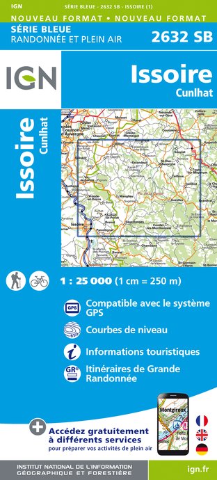
2632SB - ISSOIRE CUNLHAT
Editor : IGN
Collection : TOP 25 ET SÉRIE BLEUE
Scale : 1:25 000
13.90€

D42-43 LOIRE HAUTE-LOIRE
Editor : IGN
Collection : CARTES DÉPARTEMENTALES IGN
Scale : 1:150 000
5.90€

D15-19 CANTAL CORREZE
Editor : IGN
Collection : CARTES DÉPARTEMENTALES IGN
Scale : 1:150 000
5.90€

D03-63 ALLIER PUY-DE-DÔME
Editor : IGN
Collection : CARTES DÉPARTEMENTALES IGN
Scale : 1:150 000
5.90€

EUROPE
Editor : IGN
Collection : DÉCOUVERTE DES PAYS DU MONDE IGN
Scale : 1:2 500 000
7.00€
Data author

proposed by
Conseil Départemental du Puy-de-Dôme
24 rue Saint-Esprit 63000 Clermont-Ferrand France
Ratings and reviews
To see around


