Alert
Alerts


Description
Map
Ratings and reviews
See around
Repère 1
Description
1. L'emprunter et monter dans le bois par une petite sente pour rejoindre un sentier, (à droite promontoire : vue sur le pic de Brionnet, la chapelle Notre Dame du Mont Carmel et les gorges de Gourgoul). Descendre à gauche, longer les terrasses (pailhats). A la route, partir à gauche pour rejoindre le point de départ.
Technical Information
Lat, Lng
45.5219173.042432
Coordinates copied
Point of Interest updated on 18/05/2023
Altimetric profile
IGN cards
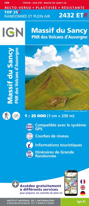
2432ETR - MASSIF DU SANCY RESISTANTE PNR DES VOLCANS D'AUVERGNE
Editor : IGN
Collection : TOP 25 RÉSISTANTE
Scale : 1:25 000
17.20€
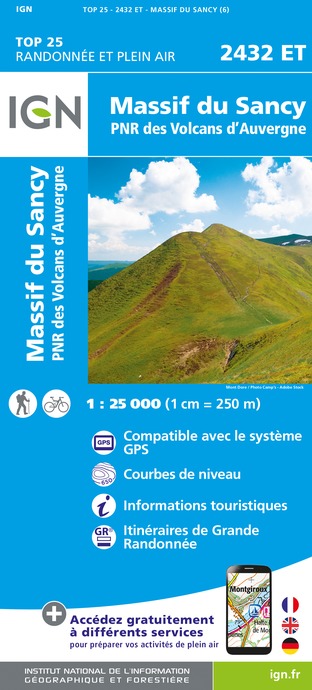
2432ET - MASSIF DU SANCY PNR DES VOLCANS D'AUVERGNE
Editor : IGN
Collection : TOP 25 ET SÉRIE BLEUE
Scale : 1:25 000
13.90€

2532SB - ISSOIRE VEYRE-MONTON
Editor : IGN
Collection : TOP 25 ET SÉRIE BLEUE
Scale : 1:25 000
13.90€

TOP75015 - CHAINE DES PUYS - MASSIF DU SANCY
Editor : IGN
Collection : TOP 75
Scale : 1:75 000
9.80€

148 CLERMONT FERRAND SALERS PNR DES VOLCANS D'AUVERGNE
Editor : IGN
Collection : TOP 100
Scale : 1:100 000
8.40€

TOP100D43 - HAUTE-LOIRE LE PUY-EN-VELAY BRIOUDE GORGES DE L'ALLIER
Editor : IGN
Collection : TOP 100
Scale : 1:100 000
8.40€

D42-43 LOIRE HAUTE-LOIRE
Editor : IGN
Collection : CARTES DÉPARTEMENTALES IGN
Scale : 1:150 000
5.90€

D15-19 CANTAL CORREZE
Editor : IGN
Collection : CARTES DÉPARTEMENTALES IGN
Scale : 1:150 000
5.90€

D03-63 ALLIER PUY-DE-DÔME
Editor : IGN
Collection : CARTES DÉPARTEMENTALES IGN
Scale : 1:150 000
5.90€

EUROPE
Editor : IGN
Collection : DÉCOUVERTE DES PAYS DU MONDE IGN
Scale : 1:2 500 000
7.00€
Data author

proposed by
Crédit Agricole Centre France
03, avenue de la Libération 63000 Clermont-Ferrand France
Ratings and reviews
To see around