Alert
Alerts
Description
Map
Ratings and reviews
See around
PART 5
Description
Continue for 300 meters as far as the top of the hill. Shortcut possible if you turn right to go to the Gabanel fountain. Otherwise continue straight on the small road going to the medieval bridge and the road D594. 50 meters before the crossroads with the D594 turn right on the old cobbled path. Cross the main road D39 and go up just in front of you to go to the church. [Junction possible with the tour n°2 if you turn left 100 meters before the church]. Turn around the church square and go down to the presbytery to reach the “Rue Basse” going up to the village. Continue on the next street (Rue de la Portette) to come back to your starting point.
Technical Information
Lat, Lng
44.215541.97638
Coordinates copied
Altitude
215 m
Uncertain state
Point of Interest updated on 20/12/2022
This point of interest hasn't been updated recently, which could compromise the reliability of this information. We recommend that you inquire and take all necessary precautions. If you're the author, please verify your information.
Altimetric profile
IGN cards

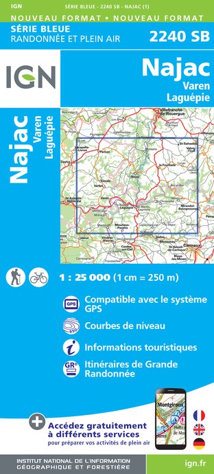
2240SB - NAJAC VAREN LAGUÉPIE
Editor : IGN
Collection : TOP 25 ET SÉRIE BLEUE
Scale : 1:25 000
13.90€

TOP100D81 - TARN ALBI CASTRES PNR DU HAUT-LANGUEDOC
Editor : IGN
Collection : TOP 100
Scale : 1:100 000
8.40€

89020 - ST-JACQUES-DE-COMPOSTELLE GR®65-1 DU PUY-EN-VELAY A MOISSAC
Editor : IGN
Collection : DECOUVERTE DES CHEMINS
Scale : 1:100 000
9.10€

D46-47 LOT LOT-ET-GARONNE
Editor : IGN
Collection : CARTES DÉPARTEMENTALES IGN
Scale : 1:150 000
5.90€

D32-82 GERS TARN-ET-GARONNE
Editor : IGN
Collection : CARTES DÉPARTEMENTALES IGN
Scale : 1:150 000
5.90€

D11-81 AUDE TARN
Editor : IGN
Collection : CARTES DÉPARTEMENTALES IGN
Scale : 1:150 000
5.90€

D12-48 AVEYRON LOZÈRE
Editor : IGN
Collection : CARTES DÉPARTEMENTALES IGN
Scale : 1:150 000
5.90€

EUROPE
Editor : IGN
Collection : DÉCOUVERTE DES PAYS DU MONDE IGN
Scale : 1:2 500 000
7.00€
Data author

proposed by
Bastides et Gorges de l'Aveyron
Promenade du Guiraudet 12200 Villefranche de Rouergue France
Ratings and reviews
To see around