Alert
Alerts
Description
Map
Ratings and reviews
See around
Part 2
Credit
: Rens Kokke / Flickr
Description
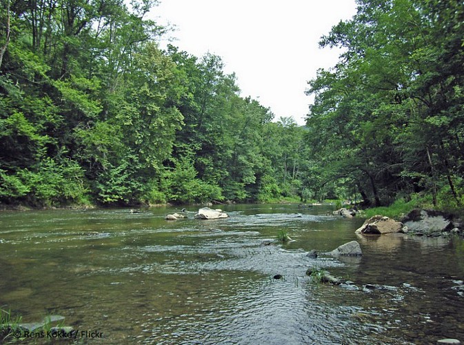
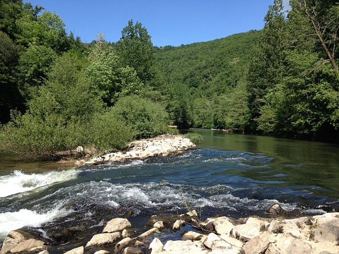
Go on the right under the bridge (Pont de Grèzes) and walk along the river for 6 kms on a beautiful shade path. On the way you can watch the kayak whitewater course built for national events.
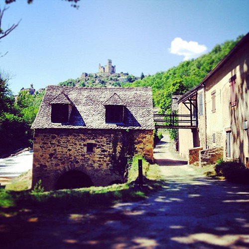
Further on, you will discover the remains of an old watermill (Moulin de Ferragut) and another one still working (Moulin d’Auribal).
The path goes along the railway. This railway has a lot of magnificent work of engineering on the Monteils-Laguépie section.
Technical Information
Lat, Lng
44.19397451.9797599
Coordinates copied
Altitude
195 m
Uncertain state
Point of Interest updated on 24/11/2022
This point of interest hasn't been updated recently, which could compromise the reliability of this information. We recommend that you inquire and take all necessary precautions. If you're the author, please verify your information.
Altimetric profile
IGN cards
2240SB - NAJAC VAREN LAGUÉPIE
Editor : IGN
Collection : TOP 25 ET SÉRIE BLEUE
Scale : 1:25 000
13.90€

TOP100D81 - TARN ALBI CASTRES PNR DU HAUT-LANGUEDOC
Editor : IGN
Collection : TOP 100
Scale : 1:100 000
8.40€
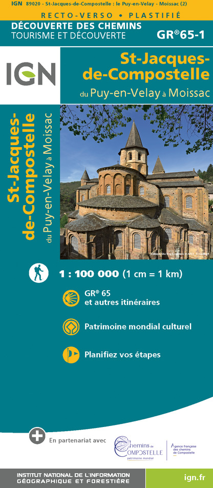
89020 - ST-JACQUES-DE-COMPOSTELLE GR®65-1 DU PUY-EN-VELAY A MOISSAC
Editor : IGN
Collection : DECOUVERTE DES CHEMINS
Scale : 1:100 000
9.10€

D46-47 LOT LOT-ET-GARONNE
Editor : IGN
Collection : CARTES DÉPARTEMENTALES IGN
Scale : 1:150 000
5.90€

D32-82 GERS TARN-ET-GARONNE
Editor : IGN
Collection : CARTES DÉPARTEMENTALES IGN
Scale : 1:150 000
5.90€

D11-81 AUDE TARN
Editor : IGN
Collection : CARTES DÉPARTEMENTALES IGN
Scale : 1:150 000
5.90€

D12-48 AVEYRON LOZÈRE
Editor : IGN
Collection : CARTES DÉPARTEMENTALES IGN
Scale : 1:150 000
5.90€

EUROPE
Editor : IGN
Collection : DÉCOUVERTE DES PAYS DU MONDE IGN
Scale : 1:2 500 000
7.00€
Data author

proposed by
Bastides et Gorges de l'Aveyron
Promenade du Guiraudet 12200 Villefranche de Rouergue France
Ratings and reviews
To see around


