Alert
Alerts
Description
Map
Ratings and reviews
See around
PART 2
Description
Once at the stream called Baussanière turn right, just before the bridge. The path goes up very steep to Baussanière (150 meters of difference in height!).
At the locality Baussanière you can watch a beautiful view of the confluence between the river Aveyron and the river Sereine just as Mergieux Holiday Village.
If you are tired you can shortcut going on the road for 500 meters and then the first path on your right. Otherwise fallow the signs, the path disappear into the forest. Continue as far as the wide path.
Technical Information
Lat, Lng
44.17711.98024
Coordinates copied
Altitude
184 m
Point of Interest updated on 20/08/2025
Altimetric profile
IGN cards

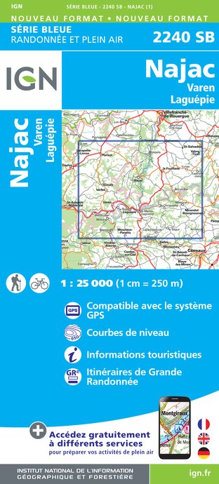
2240SB - NAJAC VAREN LAGUÉPIE
Editor : IGN
Collection : TOP 25 ET SÉRIE BLEUE
Scale : 1:25 000
13.90€

TOP100D81 - TARN ALBI CASTRES PNR DU HAUT-LANGUEDOC
Editor : IGN
Collection : TOP 100
Scale : 1:100 000
8.40€

89020 - ST-JACQUES-DE-COMPOSTELLE GR®65-1 DU PUY-EN-VELAY A MOISSAC
Editor : IGN
Collection : DECOUVERTE DES CHEMINS
Scale : 1:100 000
9.10€

D46-47 LOT LOT-ET-GARONNE
Editor : IGN
Collection : CARTES DÉPARTEMENTALES IGN
Scale : 1:150 000
5.90€

D32-82 GERS TARN-ET-GARONNE
Editor : IGN
Collection : CARTES DÉPARTEMENTALES IGN
Scale : 1:150 000
5.90€

D11-81 AUDE TARN
Editor : IGN
Collection : CARTES DÉPARTEMENTALES IGN
Scale : 1:150 000
5.90€

D12-48 AVEYRON LOZÈRE
Editor : IGN
Collection : CARTES DÉPARTEMENTALES IGN
Scale : 1:150 000
5.90€

EUROPE
Editor : IGN
Collection : DÉCOUVERTE DES PAYS DU MONDE IGN
Scale : 1:2 500 000
7.00€
Data author

proposed by
Bastides et Gorges de l'Aveyron
Promenade du Guiraudet 12200 Villefranche de Rouergue France
Ratings and reviews
To see around