Alert
Alerts
Description
Map
Ratings and reviews
See around
Saint-Hilaire

Credit
: Essonne Tourisme/CAG
Description
Au niveau de l’école du village, aller tout droit pour traverser la voie verte, puis la rivière Louette. La route se cabre, faire droite-gauche pour continuer la montée sur une petite route. La route devient piste. Prendre à gauche pour redescendre sur le cimetière de Chalo-Saint-Mars. Poursuivre la descente par les escaliers pour arriver devant l’église. La contourner par la droite, puis continuer sur un sentier. Prendre à droite pour rejoindre le parking.
Technical Information
Lat, Lng
48.43338282.0756006
Coordinates copied
Altitude
85 m
Uncertain state
Point of Interest updated on 28/07/2022
This point of interest hasn't been updated recently, which could compromise the reliability of this information. We recommend that you inquire and take all necessary precautions. If you're the author, please verify your information.
Altimetric profile
IGN cards

2217SB - MÉRÉVILLE SAINVILLE
Editor : IGN
Collection : TOP 25 ET SÉRIE BLEUE
Scale : 1:25 000
13.90€

2216ET - ÉTAMPES DOURDAN
Editor : IGN
Collection : TOP 25 ET SÉRIE BLEUE
Scale : 1:25 000
13.90€
118 PARIS CHARTRES PNR DE LA HAUTE VALLÉE DE CHEVREUSE
Editor : IGN
Collection : TOP 100
Scale : 1:100 000
8.40€

190 PARIS CHANTILLY FONTAINEBLEAU
Editor : IGN
Collection : TOP 100
Scale : 1:100 000
8.40€
D75-95 ÎLE-DE-FRANCE OUEST
Editor : IGN
Collection : CARTES DÉPARTEMENTALES IGN
Scale : 1:150 000
5.90€
D28 EURE-ET-LOIR
Editor : IGN
Collection : CARTES DÉPARTEMENTALES IGN
Scale : 1:150 000
5.90€
D77 SEINE-ET-MARNE
Editor : IGN
Collection : CARTES DÉPARTEMENTALES IGN
Scale : 1:150 000
5.90€
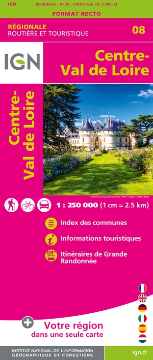
NR08 CENTRE-VAL DE LOIRE
Editor : IGN
Collection : CARTES RÉGIONALES IGN
Scale : 1:250 000
6.80€

NR03 ÍLE DE FRANCE
Editor : IGN
Collection : CARTES RÉGIONALES IGN
Scale : 1:250 000
6.80€

NR02 NORMANDIE
Editor : IGN
Collection : CARTES RÉGIONALES IGN
Scale : 1:250 000
6.80€

801 FRANCE NORD OUEST
Editor : IGN
Collection : CARTES NATIONALES IGN
Scale : 1:320 000
6.10€

EUROPE
Editor : IGN
Collection : DÉCOUVERTE DES PAYS DU MONDE IGN
Scale : 1:2 500 000
7.00€
Data author

proposed by
Essonne Tourisme
19 rue des Mazières 91000 Evry-Courcouronnes France
Ratings and reviews
To see around