Alert
Alerts
Description
Map
Ratings and reviews
See around
Le Tarnon

Credit
: Nathalie Thomas
Description
Long de 38,9 km, le Tarnon prend sa source dans le massif du mont Aigoual (sommet : 1565 m), sur la commune de Bassurels et se jette dans le Tarn en aval de Florac-Trois-Rivières, après avoir conflué avec la Mimente. Il sépare le causse Méjean et les Cévennes. En amont de Rousses, le Trépaloup se jette dans le Tarnon. C’est le ruisseau qui a creusé les gorges du Tapoul, célèbre pour la pratique du canyonning. Le Tarnon est une rivière cévenoles, qui peut connaître de très fortes et soudaines crues lors d’épisodes cévenols. Son débit peut varier de 0,1 m3/s (période sèche) à 400 m3/s (novembre 1982).
Technical Information
Lat, Lng
44.21064883.5859008
Coordinates copied
Uncertain state
Point of Interest updated on 16/11/2022
This point of interest hasn't been updated recently, which could compromise the reliability of this information. We recommend that you inquire and take all necessary precautions. If you're the author, please verify your information.
Altimetric profile
IGN cards

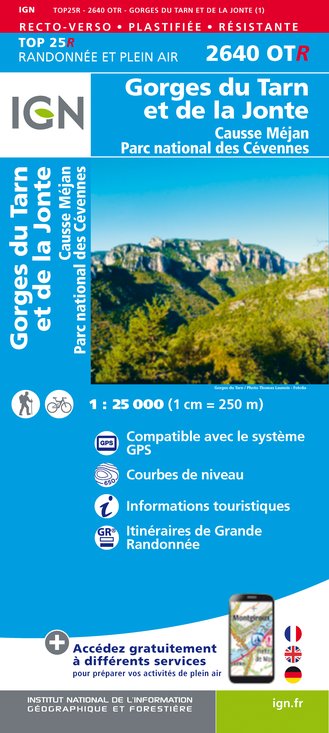
2640OTR - GORGES DU TARN ET DE LA JONTE RESISTANTE CAUSSE MÉJAN PARC NATIONAL DES CÉVENNES
Editor : IGN
Collection : TOP 25 RÉSISTANTE
Scale : 1:25 000
17.20€

2640OT - GORGES DU TARN ET DE LA JONTE CAUSSE MÉJAN PARC NATIONAL DES CÉVENNES
Editor : IGN
Collection : TOP 25 ET SÉRIE BLEUE
Scale : 1:25 000
13.90€

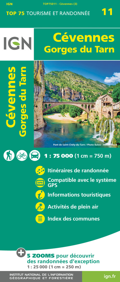
TOP75011 - CÉVENNES - GORGES DU TARN
Editor : IGN
Collection : TOP 75
Scale : 1:75 000
9.80€

TOP100D48 - LOZÈRE MENDE FLORAC-TROIS-RIVIÈRES PARC NATIONAL DES CÉVENNES GORGES DU TARN ET DE LA JONTE
Editor : IGN
Collection : TOP 100
Scale : 1:100 000
8.40€

162 RODEZ MILLAU PNR DES GRANDS CAUSSES
Editor : IGN
Collection : TOP 100
Scale : 1:100 000
8.40€

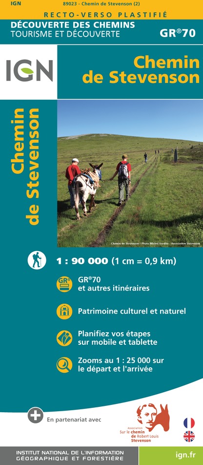
89023 - CHEMIN DE STEVENSON - GR70®
Editor : IGN
Collection : DECOUVERTE DES CHEMINS
Scale : 1:90 000
9.10€

D12-48 AVEYRON LOZÈRE
Editor : IGN
Collection : CARTES DÉPARTEMENTALES IGN
Scale : 1:150 000
5.90€

D30-34 GARD HÉRAULT
Editor : IGN
Collection : CARTES DÉPARTEMENTALES IGN
Scale : 1:150 000
5.90€

EUROPE
Editor : IGN
Collection : DÉCOUVERTE DES PAYS DU MONDE IGN
Scale : 1:2 500 000
7.00€
Data author

proposed by
Parc national des Cévennes
Ancienne gare 48400 Florac-trois-Rivières France
Ratings and reviews
To see around


