Alert
Alerts
Description
Map
Ratings and reviews
See around
The watershed
Description
Marker 18At the centre of the landscape, the river Malzac meanders through the relatively gentle relief and then flows into the Mimente in the Atlantic catchment area. Meanwhile the Grisoulle, on your left, is a tributary of the Gardon, which flows into the nearby Mediterranean, cutting abrupt slopes into the relief as it goes. The Grisoulle’s gradient is six times steeper than the Malzac’s. It is quite possible that in a few thousand years, the Grisoulle will capture the Malzac and profoundly alter the landscape. The little pass that separates them is the watershed, which also goes through the Castelas and Can Noire.
Technical Information
Lat, Lng
44.2471473.6533743
Coordinates copied
Uncertain state
Point of Interest updated on 16/11/2022
This point of interest hasn't been updated recently, which could compromise the reliability of this information. We recommend that you inquire and take all necessary precautions. If you're the author, please verify your information.
Altimetric profile
IGN cards

2740ET - CORNICHE DES CEVENNES PARC NATIONAL DES CEVENNES
Editor : IGN
Collection : TOP 25 ET SÉRIE BLEUE
Scale : 1:25 000
13.90€

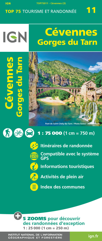
TOP75011 - CÉVENNES - GORGES DU TARN
Editor : IGN
Collection : TOP 75
Scale : 1:75 000
9.80€

TOP100D48 - LOZÈRE MENDE FLORAC-TROIS-RIVIÈRES PARC NATIONAL DES CÉVENNES GORGES DU TARN ET DE LA JONTE
Editor : IGN
Collection : TOP 100
Scale : 1:100 000
8.40€

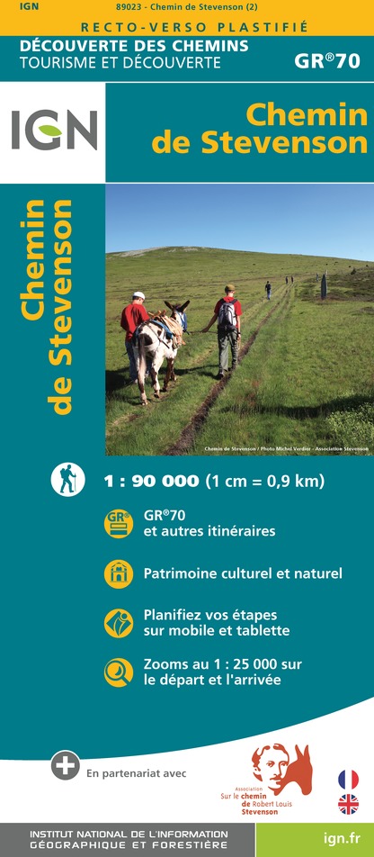
89023 - CHEMIN DE STEVENSON - GR70®
Editor : IGN
Collection : DECOUVERTE DES CHEMINS
Scale : 1:90 000
9.10€

D30-34 GARD HÉRAULT
Editor : IGN
Collection : CARTES DÉPARTEMENTALES IGN
Scale : 1:150 000
5.90€

D07-26 ARDÈCHE DRÔME
Editor : IGN
Collection : CARTES DÉPARTEMENTALES IGN
Scale : 1:150 000
5.90€

D12-48 AVEYRON LOZÈRE
Editor : IGN
Collection : CARTES DÉPARTEMENTALES IGN
Scale : 1:150 000
5.90€

EUROPE
Editor : IGN
Collection : DÉCOUVERTE DES PAYS DU MONDE IGN
Scale : 1:2 500 000
7.00€
Data author

proposed by
Parc national des Cévennes
Ancienne gare 48400 Florac-trois-Rivières France
Ratings and reviews
To see around