Alert
Alerts
Description
Map
Ratings and reviews
See around
The landscape
Description
Marker 3The panorama looks out over the Herm valley. The hamlets, built on ledges at the level of the springs, are surrounded by terraces of crop land. They are scattered within the sweet-chestnut orchards, once cultivated to feed both humans and animals. From the end of the 19th century to the mid-1950s, many chestnut trees were cut down for wood or tannin. At the same time, pines were planted to provide wood to shore up galleries in the coal mines in the Alès basin. With the chestnut orchards mostly abandoned today, pine trees are establishing themselves on the ridges, whose shallow soils are not suited to chestnut trees, and are slowly taking over the landscape.
Technical Information
Lat, Lng
44.29135413.9358181
Coordinates copied
Uncertain state
Point of Interest updated on 16/11/2022
This point of interest hasn't been updated recently, which could compromise the reliability of this information. We recommend that you inquire and take all necessary precautions. If you're the author, please verify your information.
Altimetric profile
IGN cards

2740ET - CORNICHE DES CEVENNES PARC NATIONAL DES CEVENNES
Editor : IGN
Collection : TOP 25 ET SÉRIE BLEUE
Scale : 1:25 000
13.90€

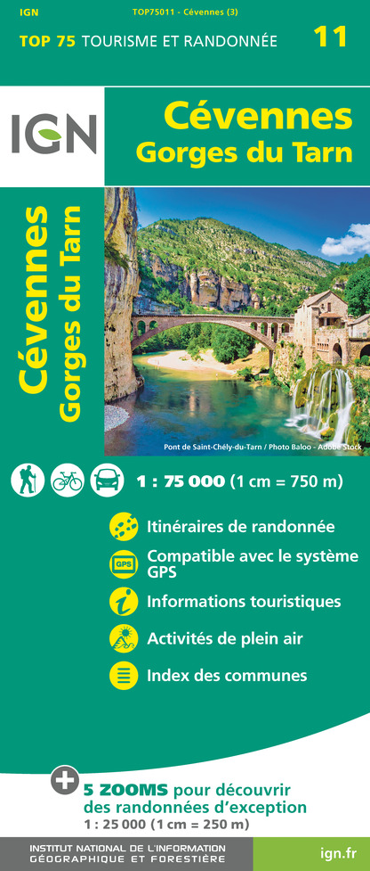
TOP75011 - CÉVENNES - GORGES DU TARN
Editor : IGN
Collection : TOP 75
Scale : 1:75 000
9.80€

TOP100D07 - ARDÈCHE PRIVAS AUBENAS VALLON-PONT-D'ARC PNR DES MONTS D'ARDÈCHE
Editor : IGN
Collection : TOP 100
Scale : 1:100 000
8.40€

TOP100D48 - LOZÈRE MENDE FLORAC-TROIS-RIVIÈRES PARC NATIONAL DES CÉVENNES GORGES DU TARN ET DE LA JONTE
Editor : IGN
Collection : TOP 100
Scale : 1:100 000
8.40€

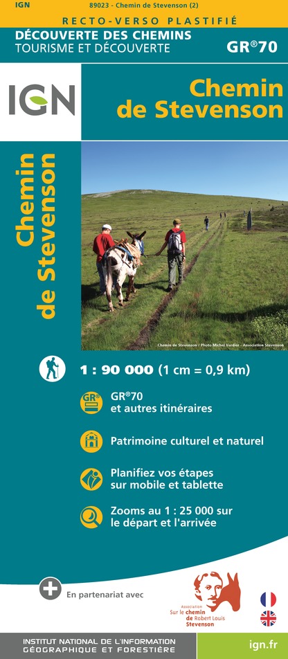
89023 - CHEMIN DE STEVENSON - GR70®
Editor : IGN
Collection : DECOUVERTE DES CHEMINS
Scale : 1:90 000
9.10€

83501 - PARC NATIONAL DES CÉVENNES
Editor : IGN
Collection : DÉCOUVERTE DES PARCS
Scale : 1:50 000
9.00€

D30-34 GARD HÉRAULT
Editor : IGN
Collection : CARTES DÉPARTEMENTALES IGN
Scale : 1:150 000
5.90€

D07-26 ARDÈCHE DRÔME
Editor : IGN
Collection : CARTES DÉPARTEMENTALES IGN
Scale : 1:150 000
5.90€

D12-48 AVEYRON LOZÈRE
Editor : IGN
Collection : CARTES DÉPARTEMENTALES IGN
Scale : 1:150 000
5.90€

EUROPE
Editor : IGN
Collection : DÉCOUVERTE DES PAYS DU MONDE IGN
Scale : 1:2 500 000
7.00€
Data author

proposed by
Parc national des Cévennes
Ancienne gare 48400 Florac-trois-Rivières France
Ratings and reviews
To see around