Alert
Alerts
Description
Map
Ratings and reviews
See around
The route of the track
Description
Marker 4Here, you can see ruts on the trail as well as others below. This might be a junction, but is more likely to be two different routes. This track is roughly parallel to the road and, at the Col de La Croix de Berthel, connects with the Languedoc draille (a path for livestock migrating to and from summer pastures), which leads onto the Mont Lozère. It may have been a communication route linking the plains of Languedoc to the Gévaudan (in northern Lozère). The substantial work undertaken to construct the road underlines its importance.
Technical Information
Lat, Lng
44.29250253.9358151
Coordinates copied
Uncertain state
Point of Interest updated on 16/11/2022
This point of interest hasn't been updated recently, which could compromise the reliability of this information. We recommend that you inquire and take all necessary precautions. If you're the author, please verify your information.
Altimetric profile
IGN cards

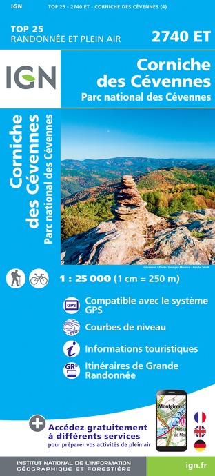
2740ET - CORNICHE DES CEVENNES PARC NATIONAL DES CEVENNES
Editor : IGN
Collection : TOP 25 ET SÉRIE BLEUE
Scale : 1:25 000
13.90€

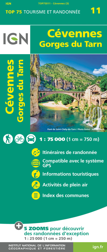
TOP75011 - CÉVENNES - GORGES DU TARN
Editor : IGN
Collection : TOP 75
Scale : 1:75 000
9.80€

TOP100D07 - ARDÈCHE PRIVAS AUBENAS VALLON-PONT-D'ARC PNR DES MONTS D'ARDÈCHE
Editor : IGN
Collection : TOP 100
Scale : 1:100 000
8.40€

TOP100D48 - LOZÈRE MENDE FLORAC-TROIS-RIVIÈRES PARC NATIONAL DES CÉVENNES GORGES DU TARN ET DE LA JONTE
Editor : IGN
Collection : TOP 100
Scale : 1:100 000
8.40€

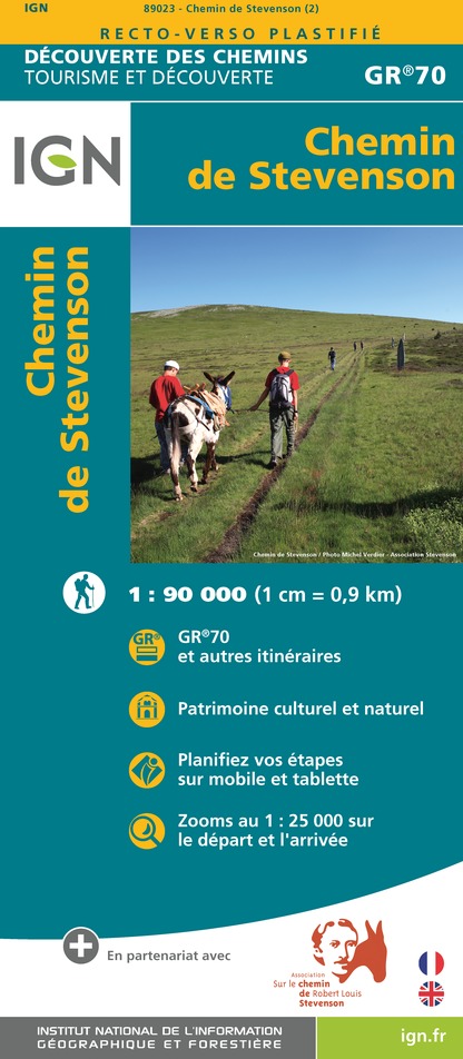
89023 - CHEMIN DE STEVENSON - GR70®
Editor : IGN
Collection : DECOUVERTE DES CHEMINS
Scale : 1:90 000
9.10€

83501 - PARC NATIONAL DES CÉVENNES
Editor : IGN
Collection : DÉCOUVERTE DES PARCS
Scale : 1:50 000
9.00€

D30-34 GARD HÉRAULT
Editor : IGN
Collection : CARTES DÉPARTEMENTALES IGN
Scale : 1:150 000
5.90€

D07-26 ARDÈCHE DRÔME
Editor : IGN
Collection : CARTES DÉPARTEMENTALES IGN
Scale : 1:150 000
5.90€

D12-48 AVEYRON LOZÈRE
Editor : IGN
Collection : CARTES DÉPARTEMENTALES IGN
Scale : 1:150 000
5.90€

EUROPE
Editor : IGN
Collection : DÉCOUVERTE DES PAYS DU MONDE IGN
Scale : 1:2 500 000
7.00€
Data author

proposed by
Parc national des Cévennes
Ancienne gare 48400 Florac-trois-Rivières France
Ratings and reviews
To see around