Alert
Alerts
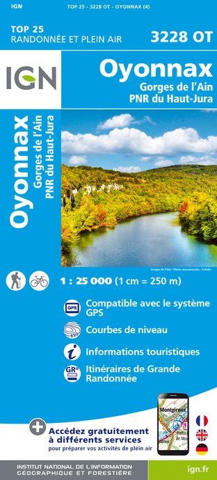
Gorges de l'Ain
Description
From Coiselet to Merpuis, the Ain river meanders between high and stunnig karstic mountains.
The Ain river, which is 200 kilometres long, was a big communication route between Jura's mountains and the Rhone river. Some people used it to ship wood and goods on rafts, called "The Navoys" to Lyon's fairs. Today, this astonishing river is the place to be for sporting holiday (hiking, potholing) or with yours family (strolls, pedal-boat).
You will walk on overhanging cliffs, see wonderful points of view and places of interest : bridges, waterfalls, dams.
Technical Information
Altimetric profile
Additional information
Updated by
Office de Tourisme du Haut-Bugey - 09/12/2024
www.hautbugey-tourisme.com/
Report a problem
Contact
Phone : 04 74 12 11 57
Website : www.hautbugey-tourisme.com/
Facebook : www.facebook.com/hautbugeytourisme
IGN cards


Data author
