Alert
Alerts
Description
Map
Ratings and reviews
See around
Roman road
Description
The Roman road paved with granite blocks was unearthed when the public gardens were being created. The road led to the northern annexe buildings of the big warehouses built on the banks of the River Rhone in the 1st century AD.
Technical Information
Lat, Lng
45.5214234.86955
Coordinates copied
Altitude
155 m
Point of Interest updated on 19/09/2025
Altimetric profile
Additional information
Contact
Phone : 04 74 53 70 10
Email : contact@vienne-condrieu.com
Updated by
Office de Tourisme de Vienne Condrieu Agglomération - 18/09/2025
www.vienne-condrieu.com/
Report a problem
IGN cards

3033SB - VIENNE ROUSSILLON
Editor : IGN
Collection : TOP 25 ET SÉRIE BLEUE
Scale : 1:25 000
13.90€

TOP100D69 - RHÔNE LYON VILLEFRANCHE-SUR-SAÔNE MONTS DU LYONNAIS
Editor : IGN
Collection : TOP 100
Scale : 1:100 000
8.40€

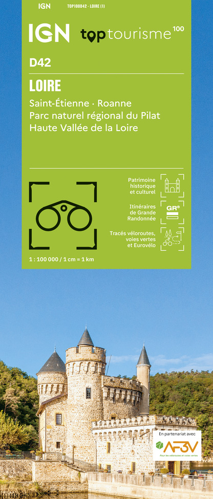
TOP100D42 - LOIRE SAINT-ÉTIENNE ROANNE PARC NATUREL RÉGIONAL DU PILAT HAUTE VALLÉE DE LA LOIRE
Editor : IGN
Collection : TOP 100
Scale : 1:100 000
8.40€

202 JURA ALPES DU NORD
Editor : IGN
Collection : TOP 200
Scale : 1:200 000
6.80€

88403 - LYON ET SES ENVIRONS
Editor : IGN
Collection : DÉCOUVERTE DES VILLES
Scale : 1:80 000
5.70€

D38 ISÈRE
Editor : IGN
Collection : CARTES DÉPARTEMENTALES IGN
Scale : 1:150 000
5.90€

D42-43 LOIRE HAUTE-LOIRE
Editor : IGN
Collection : CARTES DÉPARTEMENTALES IGN
Scale : 1:150 000
5.90€

D01-69 AIN RHÔNE
Editor : IGN
Collection : CARTES DÉPARTEMENTALES IGN
Scale : 1:150 000
5.90€

EUROPE
Editor : IGN
Collection : DÉCOUVERTE DES PAYS DU MONDE IGN
Scale : 1:2 500 000
7.00€
Data author

proposed by
Vienne Condrieu Tourisme
Cours Brillier CS 700 38200 Vienne France
Ratings and reviews
To see around