Alert
Alerts
Morraine de noirgueux
Description
Site presenting a set of 4 moraine arcs remained identical to what they were when the glacier formed them there are about 15 000 years. The Noirgueux site is a cluster of pebbles, gravel and sand accumulated at the end of the glacier down to the Vosges mountains that stretched nearly 40Km in the Moselle valley in the last glaciation. An educational trail was created on top of a Local Historic Place WW2, where military action enabled the release of Remiremont on 09/21/1944.
Access: From Remiremont, take the D157 exit (Saint-Nabord / Peuxy), then ZI Eloyes / Saint-Nabord and immediately right the Pins Trail. Turn left and take the path Longeroye. Continue until the sign No. 1 "The Noigueux Site" and No. 2 "The Moraine Noirgueux" 3 "Tribute to Henri Hogard" 4 "Former Lake St. Nabord / Remiremont "5" The Natura 2000 area "6" The Moselle path, "No. 7" The tank Bouzey supply channel. "
Technical Information
Altimetric profile
Additional information
Producteur de la donnée
Ces informations sont issues de la plateforme SITLOR - Système d’Information Touristique - Lorraine
Elles sont synchronisées dans le cadre du partenariat entre Cirkwi, l’Agence régionale du Tourisme Grand Est et les membres du comité technique de Sitlor.
Contact
Tel : 03 29 62 23 70
Email : remiremont@otrp.fr
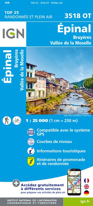
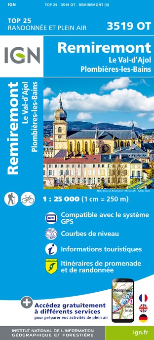
IGN cards





Data author
