Alert
Alerts
Anglards-de-Salers


Description
Anglards-de-Salers is one of the Cantal's largest communes. Deeply agricultural, it is made up of a multitude of hamlets and around 70 kilometres of roads.
Anglards-de-Salers is one of the Cantal's largest communes, its population has stabilised or even increased slightly in recent years. Deeply agricultural, it is made up of a multitude of hamlets and around 60 kilometres of roads. Three of the villages have their own church and cemetery. The architectural heritage is extremely rich, both vernacular (ovens, wash-houses, wells, wayside crosses....) and major (churches, château de la Trémolière). The landscapes are all the more interesting for their variety (woods, meadows, mountain pastures, streams....). Two of the town's jewels are the exceptional collection of Aubusson "le bestiaire fantastique” verdures, a collection of 16th-century tapestries listed as a Historic Monument, and "Le verger de Déduit", a garden in the former grounds of the Château de la Trémolière, designated a "remarkable garden" by the French Ministry of Culture.
Technical Information
Altimetric profile
Additional information
Updated by
Office de Tourisme du Pays de Salers - 20/12/2024
www.salers-tourisme.fr/
Report a problem
Contact
Phone : 04 71 40 00 02
Email : anglards-de-salers.mairie@wanadoo.fr
Facebook : www.facebook.com/mairieanglardsdesalers/
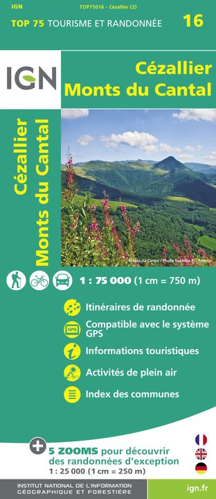
IGN cards


Data author
