Alert
Alerts
Description
Map
Ratings and reviews
See around
Rocher du Grisot

Credit
: G.Salat - CC HCC
Description
The formation of the volcanic massif of Cantal has caused lava to rise over fragile areas in this northern part of the Dordogne. These upwellings are still visible today in the form of either small puys or shreds of flow. The Rocher du Grisot, which is, more generally, part of the Puy called Puy d'Enval or Puy de Vernejoux, is a witness hill or outlier cleared by the erosion of a flow whose origin remains unclear.
Technical Information
Lat, Lng
45.37532.35466
Coordinates copied
Altitude
619 m
Point of Interest updated on 20/11/2025
Altimetric profile
IGN cards
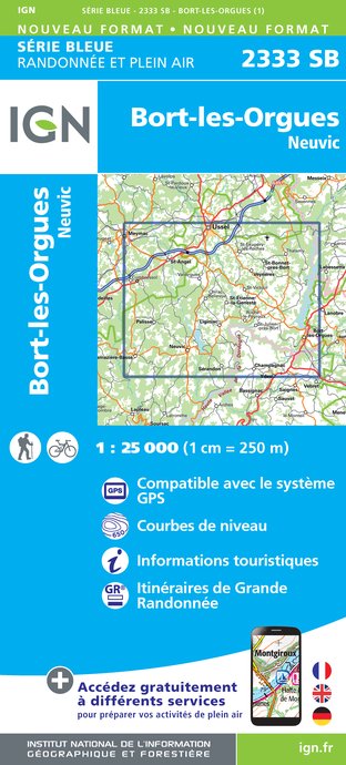
2333SB - BORT-LES-ORGUES NEUVIC
Editor : IGN
Collection : TOP 25 ET SÉRIE BLEUE
Scale : 1:25 000
13.90€
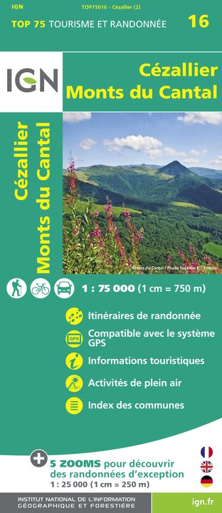
TOP75016 - CEZALLIER MONTS DU CANTAL
Editor : IGN
Collection : TOP 75
Scale : 1:75 000
9.80€

155 AURILLAC SAINT-FLOUR PNR DES VOLCANS D'AUVERGNE
Editor : IGN
Collection : TOP 100
Scale : 1:100 000
8.40€

148 CLERMONT FERRAND SALERS PNR DES VOLCANS D'AUVERGNE
Editor : IGN
Collection : TOP 100
Scale : 1:100 000
8.40€

D23-87 CREUSE HAUTE-VIENNE
Editor : IGN
Collection : CARTES DÉPARTEMENTALES IGN
Scale : 1:150 000
5.90€

D03-63 ALLIER PUY-DE-DÔME
Editor : IGN
Collection : CARTES DÉPARTEMENTALES IGN
Scale : 1:150 000
5.90€

D15-19 CANTAL CORREZE
Editor : IGN
Collection : CARTES DÉPARTEMENTALES IGN
Scale : 1:150 000
5.90€

EUROPE
Editor : IGN
Collection : DÉCOUVERTE DES PAYS DU MONDE IGN
Scale : 1:2 500 000
7.00€
Data author

Ratings and reviews
To see around