Alert
Alerts
Description
Map
Ratings and reviews
See around
Panoramic view of the water tower


Credit
: G.Salat - CC HCC
Description
This hike offers an unobstructed view at the water tower, which rises to 776 metres. Sometimes hidden behind cornfields, on your right is the volcanic massif of Sancy, the highest volcano in mainland France, at 1885 metres. On your left, recognisable by its civil and military antennas, Mont Audouze is a landmark on the Plateau de Millevaches.
Technical Information
Lat, Lng
45.66752.20819
Coordinates copied
Point of Interest updated on 02/04/2025
Altimetric profile
IGN cards

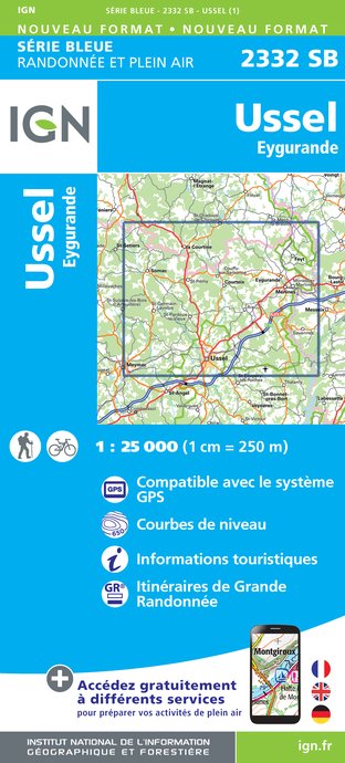
2332SB - USSEL EYGURANDE
Editor : IGN
Collection : TOP 25 ET SÉRIE BLEUE
Scale : 1:25 000
13.90€

147 LIMOGES GUÉRET PNR DE MILLEVACHES EN LIMOUSIN
Editor : IGN
Collection : TOP 100
Scale : 1:100 000
8.40€

148 CLERMONT FERRAND SALERS PNR DES VOLCANS D'AUVERGNE
Editor : IGN
Collection : TOP 100
Scale : 1:100 000
8.40€

D23-87 CREUSE HAUTE-VIENNE
Editor : IGN
Collection : CARTES DÉPARTEMENTALES IGN
Scale : 1:150 000
5.90€

D03-63 ALLIER PUY-DE-DÔME
Editor : IGN
Collection : CARTES DÉPARTEMENTALES IGN
Scale : 1:150 000
5.90€

D15-19 CANTAL CORREZE
Editor : IGN
Collection : CARTES DÉPARTEMENTALES IGN
Scale : 1:150 000
5.90€

EUROPE
Editor : IGN
Collection : DÉCOUVERTE DES PAYS DU MONDE IGN
Scale : 1:2 500 000
7.00€
Data author
Ratings and reviews
To see around


