Alert
Alerts
Description
Map
Ratings and reviews
See around
Peyralbe interpretative board


Description
Here you will enjoy an outstanding all-round 360º view with two fully documented viewpoint indicators. These boards provide information about the local geology, the various types of rocks to be found, the reason why this area is called the Rougier de Camarès, as well as how a meander is formed, a phenomenon which can be observed further down with "le fer à cheval" (the horseshoe) a meander created by the Dourdou river. The second board provides information about the village of Vabres l'Abbaye and on the creation of the bishopric in 1135.
Technical Information
Lat, Lng
43.95072.81817
Coordinates copied
Point of Interest updated on 11/11/2024
Altimetric profile
IGN cards

2441SB - RÉQUISTA VILLEFRANCHE-DE-PANAT
Editor : IGN
Collection : TOP 25 ET SÉRIE BLEUE
Scale : 1:25 000
13.90€

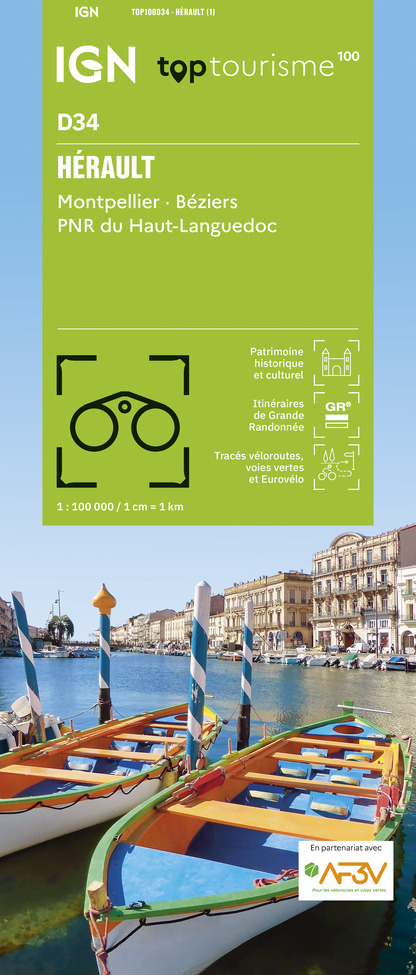
TOP100D34 - HÉRAULT MONTPELLIER BÉZIERS PNR DU HAUT-LANGUEDOC
Editor : IGN
Collection : TOP 100
Scale : 1:100 000
8.40€

162 RODEZ MILLAU PNR DES GRANDS CAUSSES
Editor : IGN
Collection : TOP 100
Scale : 1:100 000
8.40€

TOP100D81 - TARN ALBI CASTRES PNR DU HAUT-LANGUEDOC
Editor : IGN
Collection : TOP 100
Scale : 1:100 000
8.40€

D30-34 GARD HÉRAULT
Editor : IGN
Collection : CARTES DÉPARTEMENTALES IGN
Scale : 1:150 000
5.90€

D11-81 AUDE TARN
Editor : IGN
Collection : CARTES DÉPARTEMENTALES IGN
Scale : 1:150 000
5.90€

D12-48 AVEYRON LOZÈRE
Editor : IGN
Collection : CARTES DÉPARTEMENTALES IGN
Scale : 1:150 000
5.90€

EUROPE
Editor : IGN
Collection : DÉCOUVERTE DES PAYS DU MONDE IGN
Scale : 1:2 500 000
7.00€
Data author

proposed by
Parc naturel régional des Grands Causses
71 Boulevard de l'Ayrolle 12100 MILLAU France
Ratings and reviews
To see around