Alert
Alerts
Description
Map
Ratings and reviews
See around
Geissberg and Steinberg hills
Description
On the day of the battle, 3,000 men of the French 97th RIA concentrated in a rectangle 400 metres in front and 600 metres deep, on the Geissberg, extended by the Steinberg. From 1.45 p.m. German time onwards, three battalions rushed towards the village in succession. They came up against heavy German fire, retreated to the ridge, collided and fired at each other, causing several hundred casualties. The Geissberg, also known as hill 305 in reference to its altitude, was then occupied by German troops and retaken by the French of the 281st RI at around 8pm.
Technical Information
Lat, Lng
47.6901277.313081
Coordinates copied
Altitude
306 m
Point of Interest updated on 09/04/2024
Altimetric profile
IGN cards

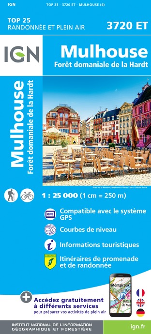
3720ET - MULHOUSE FORÊT DOMANIALE DE LA HARDT
Editor : IGN
Collection : TOP 25 ET SÉRIE BLEUE
Scale : 1:25 000
13.90€

VEL04 - L'ALSACE A VELO
Editor : IGN
Collection : DECOUVERTE A VELO
Scale : 1:110 000
9.10€

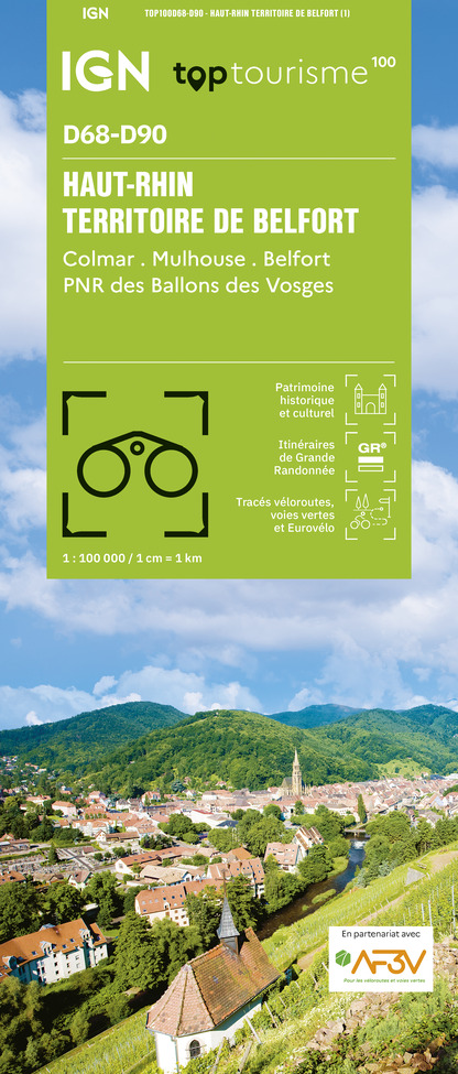
TOP100D68 - HAUT-RHIN TERRITOIRE DE BELFORT COLMAR MULHOUSE BELFORT PNR DES BALLONS DES VOSGES
Editor : IGN
Collection : TOP 100
Scale : 1:100 000
8.40€

201 ALSACE MASSIF DES VOSGES
Editor : IGN
Collection : TOP 200
Scale : 1:200 000
6.80€

89032 - LA TRAVERSEE DES VOSGES
Editor : IGN
Collection : DECOUVERTE DES CHEMINS
Scale : 1:100 000
9.10€

D67-68 BAS-RHIN HAUT-RHIN
Editor : IGN
Collection : CARTES DÉPARTEMENTALES IGN
Scale : 1:150 000
5.90€

D70-88-90 HAUTE-SAÔNE VOSGES TERRITOIRE DE BELFORT
Editor : IGN
Collection : CARTES DÉPARTEMENTALES IGN
Scale : 1:150 000
5.90€

SUISSE
Editor : IGN
Collection : DÉCOUVERTE DES PAYS DU MONDE IGN
Scale : 1:303 000
7.00€

ALLEMAGNE
Editor : IGN
Collection : DÉCOUVERTE DES PAYS DU MONDE IGN
Scale : 1:800 000
7.00€

EUROPE
Editor : IGN
Collection : DÉCOUVERTE DES PAYS DU MONDE IGN
Scale : 1:2 500 000
7.00€
Data author
Ratings and reviews
To see around
