Alert
Alerts
Description
Map
Ratings and reviews
See around
Top of the Gallenhoelzchen hill
Description
This hill culminates at 332 m. 50 m further on, at the end of the forest, there is a beautiful view of Brunstatt on the left, Flaxlanden in the centre and Zillisheim on the right. Between these last two villages, the Geissberg hill, which was the scene, on 19 August 1914, of a bloody battle in which hundreds of people died in order to reconquer Mulhouse for the French troops (the same day as the battle of Dornach).
Technical Information
Lat, Lng
47.7110087.291314
Coordinates copied
Altitude
333 m
Point of Interest updated on 11/04/2024
Altimetric profile
IGN cards

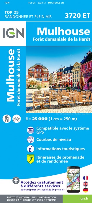
3720ET - MULHOUSE FORÊT DOMANIALE DE LA HARDT
Editor : IGN
Collection : TOP 25 ET SÉRIE BLEUE
Scale : 1:25 000
13.90€

VEL04 - L'ALSACE A VELO
Editor : IGN
Collection : DECOUVERTE A VELO
Scale : 1:110 000
9.10€

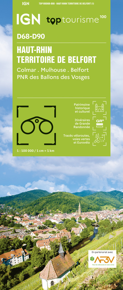
TOP100D68 - HAUT-RHIN TERRITOIRE DE BELFORT COLMAR MULHOUSE BELFORT PNR DES BALLONS DES VOSGES
Editor : IGN
Collection : TOP 100
Scale : 1:100 000
8.40€

201 ALSACE MASSIF DES VOSGES
Editor : IGN
Collection : TOP 200
Scale : 1:200 000
6.80€

89032 - LA TRAVERSEE DES VOSGES
Editor : IGN
Collection : DECOUVERTE DES CHEMINS
Scale : 1:100 000
9.10€

D67-68 BAS-RHIN HAUT-RHIN
Editor : IGN
Collection : CARTES DÉPARTEMENTALES IGN
Scale : 1:150 000
5.90€

D70-88-90 HAUTE-SAÔNE VOSGES TERRITOIRE DE BELFORT
Editor : IGN
Collection : CARTES DÉPARTEMENTALES IGN
Scale : 1:150 000
5.90€

SUISSE
Editor : IGN
Collection : DÉCOUVERTE DES PAYS DU MONDE IGN
Scale : 1:303 000
7.00€

ALLEMAGNE
Editor : IGN
Collection : DÉCOUVERTE DES PAYS DU MONDE IGN
Scale : 1:800 000
7.00€

EUROPE
Editor : IGN
Collection : DÉCOUVERTE DES PAYS DU MONDE IGN
Scale : 1:2 500 000
7.00€
Data author
Ratings and reviews
To see around
