Alert
Alerts
Description
Map
Ratings and reviews
See around
Steinbaechlein
Description
When you arrive on the road (the old Mulhouse-Belfort main road), you follow and then cross the Steinbaechlein, a river which flows from the Doller at Pont d'Aspach and which flows into the Ill shortly after Mulhouse. The Steinbaechlein
once fed a series of mills, and then, from 1746 onwards, made the Mulhouse textile industry rich thanks to its crystal clear water from the Vosges.
Technical Information
Lat, Lng
47.7263787.2072
Coordinates copied
Altitude
276 m
Point of Interest updated on 23/12/2022
Altimetric profile
IGN cards

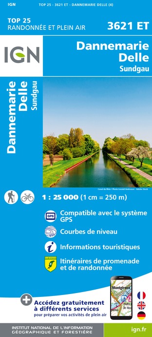
3621ET - DANNEMARIE DELLE SUNDGAU
Editor : IGN
Collection : TOP 25 ET SÉRIE BLEUE
Scale : 1:25 000
13.90€

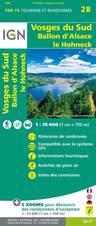
TOP75028 - VOSGES DU SUD BALLON D'ALSACE LE HOHNECK
Editor : IGN
Collection : TOP 75
Scale : 1:75 000
9.80€

VEL04 - L'ALSACE A VELO
Editor : IGN
Collection : DECOUVERTE A VELO
Scale : 1:110 000
9.10€

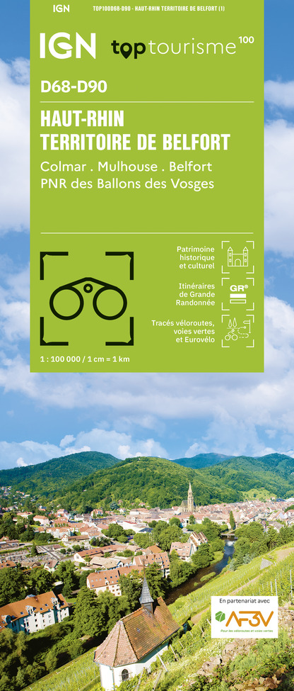
TOP100D68 - HAUT-RHIN TERRITOIRE DE BELFORT COLMAR MULHOUSE BELFORT PNR DES BALLONS DES VOSGES
Editor : IGN
Collection : TOP 100
Scale : 1:100 000
8.40€

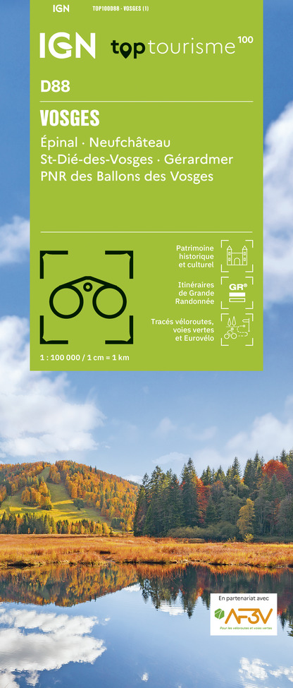
TOP100D88 - VOSGES ÉPINAL NEUFCHÂTEAU ST-DIÉ-DES-VOSGES GÉRARDMER PNR DES BALLONS DES VOSGES
Editor : IGN
Collection : TOP 100
Scale : 1:100 000
8.40€

201 ALSACE MASSIF DES VOSGES
Editor : IGN
Collection : TOP 200
Scale : 1:200 000
6.80€

89032 - LA TRAVERSEE DES VOSGES
Editor : IGN
Collection : DECOUVERTE DES CHEMINS
Scale : 1:100 000
9.10€

D70-88-90 HAUTE-SAÔNE VOSGES TERRITOIRE DE BELFORT
Editor : IGN
Collection : CARTES DÉPARTEMENTALES IGN
Scale : 1:150 000
5.90€

D67-68 BAS-RHIN HAUT-RHIN
Editor : IGN
Collection : CARTES DÉPARTEMENTALES IGN
Scale : 1:150 000
5.90€

SUISSE
Editor : IGN
Collection : DÉCOUVERTE DES PAYS DU MONDE IGN
Scale : 1:303 000
7.00€

EUROPE
Editor : IGN
Collection : DÉCOUVERTE DES PAYS DU MONDE IGN
Scale : 1:2 500 000
7.00€

ALLEMAGNE
Editor : IGN
Collection : DÉCOUVERTE DES PAYS DU MONDE IGN
Scale : 1:800 000
7.00€
Data author
Ratings and reviews
To see around
