Alert
Alerts
Grand Colombier Mountain range


Description
Located to the south of the Jura Massif and Bugey’s highest point
(1531 m), with over 100 km of marked hiking trails (GR9, LWG,
GR) and panoramic views on the Alps (Belledonne
and Mont Blanc), Bugey, Rhone, lake Bourget and Lake Annecy
and Leman. There is the opportunity to discover various sites
and landscapes: forests, grasslands, grangeons (temporary
accommodation for winemakers) the Chartreuse Arvières ruins,
ridge roads and panoramic views on the Alps.
The summit of the Grand Colombier offers exceptional views of the Belledonne and Mont-Blanc massifs, the Bugey region, the Rhône, Lac du Bourget, Lac d'Annecy and Lac du Léman.
The "giant of Bugey" offers a variety of sites and landscapes to admire: forests, meadows, barns, the ruins of the Chartreuse d'Arvières
and panoramic views of the Alps.
Two orientation tables:
- "le Fenestrez" (Altitude: 1,150 m): from Culoz, follow the RD120, then at the Sapette crossroads, the D120b on the left.
- La Croix" (altitude 1,525 m): from Culoz, follow the RD120 towards Col du Grand Colombier. Parking lot nearby.
This massif has all the characteristics of the Jurassic era: firstly, alternating mountains and valleys: the mountain is surrounded to the west by the Valromey depression and to the east by the Lavours and Chautagne marshes.
It reappears as a "mollard" at Lavours and Vions.
The limestone rock, carved out by heavy rains, has given rise to picturesque sites such as the Thurignin gorges in Valromey, the Cerveyrieu waterfall near Artemare, the Groin canyon, etc...
You can drive through the massif on the D120 from Culoz (where the climb is particularly spectacular), Anglefort, Virieu-le-Petit or Lochieu. There is a parking lot near the Iron Cross overlooking the massif.
Technical Information
Altimetric profile
Date and time
- From 15/04/2026 to 01/11/2026
Additional information
Updated by
Office de Tourisme Bugey Sud Grand Colombier - 24/11/2025
www.bugeysud-tourisme.fr
Report a problem
Open period
From 15/04 to 01/11.
Contact
Phone : 04 79 81 29 06
Email : contact@bugeysud-tourisme.fr
Website : http://www.bugeysud-tourisme.fr
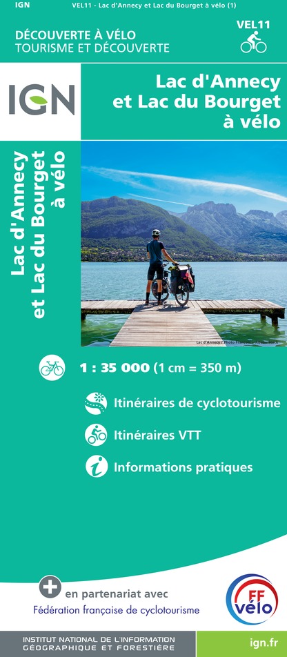
IGN cards


