Alert
Alerts
Signal View


Description
In the 18th century, François Cassini de Thury was tasked with drawing a map of France by Louis XV. He created an observatory to draw the first map of the region on a scale of 1:86,400 thanks to the newly discovered triangular measurement technique.
Technical Information
Altimetric profile
Additional information
Price(s)
Free access.
Updated by
OTI des Monts du Lyonnais - 22/11/2024
www.montsdulyonnaistourisme.fr
Report a problem
Open period
All year round.
Contact
Phone : 04 78 19 91 65
Email : accueil.mornant@montsdulyonnaistourisme.fr
Facebook : www.facebook.com/montsdulyonnaistourisme/
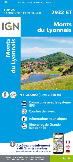
IGN cards


Data author
