Alert
Alerts
Description
Map
Ratings and reviews
See around
Vallon de la Jarjatte

Credit
: L.Pascale-LaDromeTourisme
Description
At the foot of the highest summits Drômois and backed up to Dévoluy, the valley of the Jarjatte is a classified site protected since 2012.Between torrent, forest (fir beech forest), alpine pastures and limestone peaks. The meteorology of this sector makes it its richness.The climate of the preharms of the humid north and that of the dry south alps mingle and favor an unusual procession of natural environments.
Technical Information
Lat, Lng
44.69080675.7860807
Coordinates copied
Point of Interest updated on 14/02/2025
Altimetric profile
IGN cards
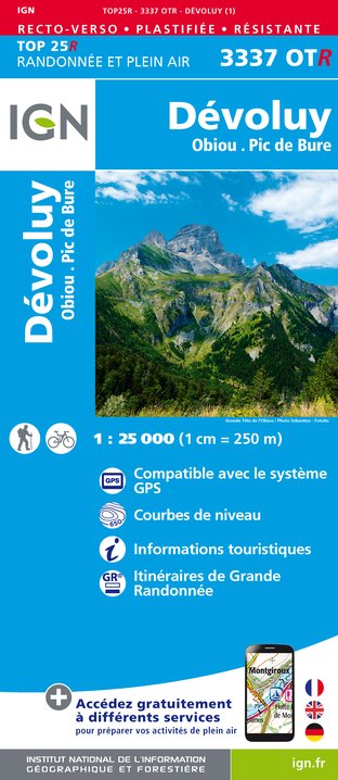
3337OTR - DÉVOLUY RESISTANTE OBIOU PIC DE BURE
Editor : IGN
Collection : TOP 25 RÉSISTANTE
Scale : 1:25 000
17.20€
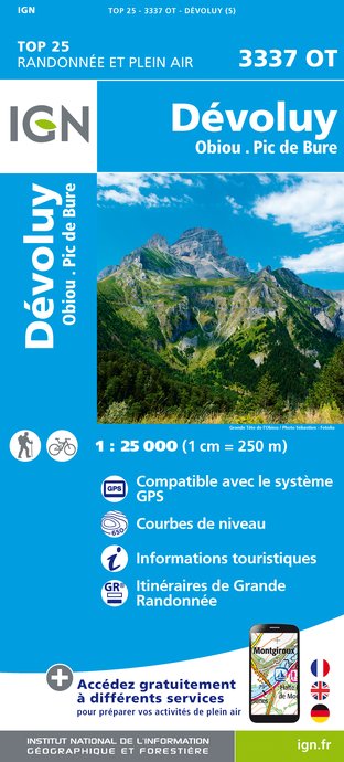
3337OT - DÉVOLUY OBIOU PIC DE BURE
Editor : IGN
Collection : TOP 25 ET SÉRIE BLEUE
Scale : 1:25 000
13.90€

TOP75006 - MASSIF DES ECRINS OISANS CHAMPSAUR
Editor : IGN
Collection : TOP 75
Scale : 1:75 000
9.80€

TOP75009 - DIOIS DEVOLUY HAUTE VALLEE DE LA DROME
Editor : IGN
Collection : TOP 75
Scale : 1:75 000
9.80€

TOP75001 - MASSIF DU VERCORS
Editor : IGN
Collection : TOP 75
Scale : 1:75 000
9.80€

VEL01 - LA DRÔME A VELO
Editor : IGN
Collection : DECOUVERTE A VELO
Scale : 1:105 000
9.10€

TOP100D26 - DRÔME VALENCE MONTÉLIMAR DIE PNR DES BARONNIES PROVENÇALES PNR DU VERCORS
Editor : IGN
Collection : TOP 100
Scale : 1:100 000
8.40€

D38 ISÈRE
Editor : IGN
Collection : CARTES DÉPARTEMENTALES IGN
Scale : 1:150 000
5.90€

D04-05 ALPES-DE-HAUTE-PROVENCE HAUTES-ALPES
Editor : IGN
Collection : CARTES DÉPARTEMENTALES IGN
Scale : 1:150 000
5.90€

D07-26 ARDÈCHE DRÔME
Editor : IGN
Collection : CARTES DÉPARTEMENTALES IGN
Scale : 1:150 000
5.90€

NR16 PROVENCE-ALPES-CÔTE D'AZUR
Editor : IGN
Collection : CARTES RÉGIONALES IGN
Scale : 1:250 000
6.80€

NR14 AUVERGNE-RHÔNE-ALPES RECTO/VERSO MASSIF CENTRAL
Editor : IGN
Collection : CARTES RÉGIONALES IGN
Scale : 1:250 000
6.80€

NR15 AUVERGNE-RHÔNE-ALPES RECTO/VERSO MASSIF ALPIN
Editor : IGN
Collection : CARTES RÉGIONALES IGN
Scale : 1:250 000
6.80€

EUROPE
Editor : IGN
Collection : DÉCOUVERTE DES PAYS DU MONDE IGN
Scale : 1:2 500 000
7.00€
Data author

Ratings and reviews
To see around