Alert
Alerts
Très le Mont mountain pasture


Description
Très-le-Mont is the departure point for the hike to Mont Forchat and provides fantastic views of Lake Geneva. The cows that graze here in summer help maintain this beautiful pasture.
Très-le-Mont and Mont Forchat form a real water tower which provides most of Bas Chablais with drinking water.
Technical Information
Altimetric profile
Additional information
Price(s)
Free
Updated by
Office de Tourisme des Alpes du Léman - 27/02/2025
www.alpesduleman.com
Report a problem
Open period
Throughout the year: open daily. Footpath from Col du Feu in winter as the Très le Mont road is not cleared of snow.
Contact
Phone : 04 50 73 71 53
Email : info@alpesduleman.com
Facebook : www.facebook.com/alpesduleman/
Google+ : www.google.com/search?q=office de tourisme des alpes du léman - bureau de bellevaux&stick=h4siaaaaaaaa_-ngu1i1qdaxt0g2ne5jnri0stjmttk0mqiwmdnnnumzte1jszrpneoxwmrq45-wlpmcqpcsqhcsx1quwzwlyhcrooyuammuugwfwytze_mudbwcsotse0tbcp1sc3jsyxjlkwaiho-qaaaaaa&hl=fr&mat=cvvqpczjubycelcbmzl_pc78ustegphhzt4z5bp9zjesagp4mbs05yxqhmqpsixugmaa60ifju8n01ycseft22kkwpsaqyfhmqeolpmm1g0sox2qq8tk6v4u7elwfqbx-kq&authuser=0
Tips
Très-le-Mont is also a paragliding and hanggliding spot. Don't forget to stop at the "Au Petit Savoyard" restaurant on Très-le-Mont car park.
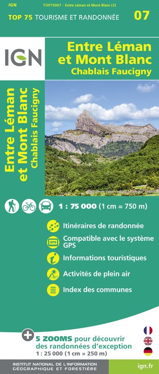
IGN cards


Data author


