Alert
Alerts
La Lande


Description
The river la Lande runs through the commune of Uzer, flowing for around twenty kilometres into the Ligne tributary of the Ardèche.
The banks of the Lande à Uzer are classified as a Natura 2000 area, as they are home to a number of habitats and species representative of European biodiversity.
A number of built heritage features can be seen along the Lande, including
- bridges
- a viaduct which until the 1980s housed a railway line
- sautes, dykes or "levees" topped with large stones to allow pedestrians to cross the river. Half a dozen of these in Uzer, used to supply crops, vegetable gardens, etc., have been damaged by bad weather. The one in the lower village was restored in July 2016.
- water retention basins to supply the gardens.
Technical Information
Altimetric profile
Additional information
Updated by
Office intercommunal du tourisme en Val de Ligne - 11/07/2024
www.tourisme-valdeligne.fr/
Report a problem
Open period
All year round.
Contact
Phone : 04 75 36 87 59
Email : mairie@uzer.fr
Website : www.uzer07.fr/
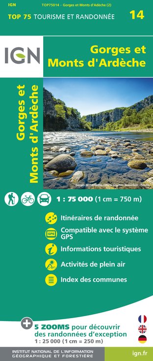
IGN cards


