Alert
Alerts


Description
Map
Ratings and reviews
See around
Étape 7
Description
Puis prendre la première rue à gauche (rue du Puits aux Bérys). Arriver à la route, prendre à droite, la rue des Chesneaux. Au panneau stop (attention DANGER), traverser la D218, prendre le chemin en face dans la vallée de Brenouelle, puis le premier chemin à gauche en direction du clocher de l’église. Arriver à la rue des Jardins, prendre à gauche en direction de l’église et continuer par la rue Sainte-Anne. Retour à l’école par la rue de l’église
Technical Information
Lat, Lng
48.25079792.8962278
Coordinates copied
Altitude
143 m
Uncertain state
Point of Interest updated on 15/03/2023
This point of interest hasn't been updated recently, which could compromise the reliability of this information. We recommend that you inquire and take all necessary precautions. If you're the author, please verify your information.
Altimetric profile
IGN cards

2518SB - LORREZ-LE-BOCAGE-PRÉAUX CHÉROY SAINT-VALÉRIEN
Editor : IGN
Collection : TOP 25 ET SÉRIE BLEUE
Scale : 1:25 000
13.90€
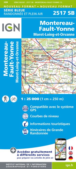
2517SB - MONTEREAU-FAULT-YONNE MORET-SUR-LOING
Editor : IGN
Collection : TOP 25 ET SÉRIE BLEUE
Scale : 1:25 000
13.90€
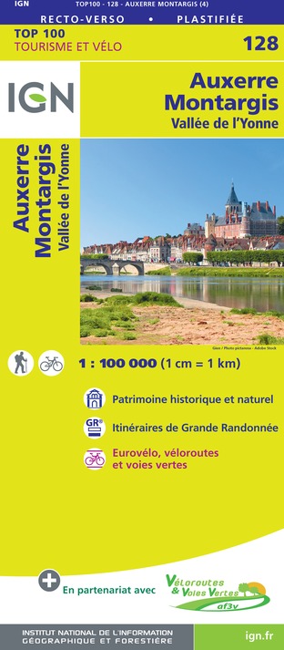
128 AUXERRE MONTARGIS VALLÉE DE L'YONNE
Editor : IGN
Collection : TOP 100
Scale : 1:100 000
8.40€

119 PARIS SENS PNR DU GÂTINAIS FRANÇAIS
Editor : IGN
Collection : TOP 100
Scale : 1:100 000
8.40€

D77 SEINE-ET-MARNE
Editor : IGN
Collection : CARTES DÉPARTEMENTALES IGN
Scale : 1:150 000
5.90€

D75-95 ÎLE-DE-FRANCE OUEST
Editor : IGN
Collection : CARTES DÉPARTEMENTALES IGN
Scale : 1:150 000
5.90€

D58-D89 NIÈVRE YONNE
Editor : IGN
Collection : CARTES DÉPARTEMENTALES IGN
Scale : 1:150 000
5.90€

D41-45 LOIR-ET-CHER LOIRET
Editor : IGN
Collection : CARTES DÉPARTEMENTALES IGN
Scale : 1:150 000
5.90€
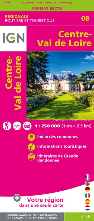
NR08 CENTRE-VAL DE LOIRE
Editor : IGN
Collection : CARTES RÉGIONALES IGN
Scale : 1:250 000
6.80€

NR09 BOURGOGNE FRANCHE-COMTÉ
Editor : IGN
Collection : CARTES RÉGIONALES IGN
Scale : 1:250 000
6.80€

NR05 GRAND EST RECTO/VERSO MASSIF DES VOSGES ALSACE LORRAINE
Editor : IGN
Collection : CARTES RÉGIONALES IGN
Scale : 1:250 000
6.80€

NR03 ÍLE DE FRANCE
Editor : IGN
Collection : CARTES RÉGIONALES IGN
Scale : 1:250 000
6.80€

NR04 - GRAND EST RECTO/VERSO ARDENNE CHAMPAGNE
Editor : IGN
Collection : CARTES RÉGIONALES IGN
Scale : 1:250 000
6.80€

EUROPE
Editor : IGN
Collection : DÉCOUVERTE DES PAYS DU MONDE IGN
Scale : 1:2 500 000
7.00€
Data author

proposed by
Office de Tourisme Gâtinais Val de Loing
6 rue Hetzel 77570 Château-Landon France
Ratings and reviews
To see around