Alert
Alerts
Description
Map
Ratings and reviews
See around
The mining city of Brassac-les-Mines
Description
The district of Brassaget was known until the 16th century, only for its ferry, which allowed connecting the two sides of the Allier River. Its importance increased in the 17th century, with the joint development of the transportation by waterway and the mining. In 1795, almost 300 bargemen and other men working in relation with the water lived from the fluvial activity of the Allier River, and lived, for the majority, in the Brassaget district. The ferryboat of Brassaget was used until 1950.
Technical Information
Lat, Lng
45.4135943.3378536
Coordinates copied
Altitude
402 m
Uncertain state
Point of Interest updated on 08/06/2016
This point of interest hasn't been updated recently, which could compromise the reliability of this information. We recommend that you inquire and take all necessary precautions. If you're the author, please verify your information.
Altimetric profile
IGN cards
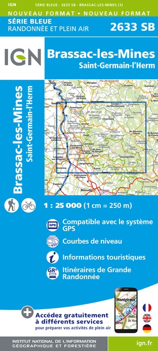
2633SB - BRASSAC-LES-MINES SAINT-GERMAIN-L'HERM
Editor : IGN
Collection : TOP 25 ET SÉRIE BLEUE
Scale : 1:25 000
13.90€

TOP100D43 - HAUTE-LOIRE LE PUY-EN-VELAY BRIOUDE GORGES DE L'ALLIER
Editor : IGN
Collection : TOP 100
Scale : 1:100 000
8.40€

148 CLERMONT FERRAND SALERS PNR DES VOLCANS D'AUVERGNE
Editor : IGN
Collection : TOP 100
Scale : 1:100 000
8.40€

D42-43 LOIRE HAUTE-LOIRE
Editor : IGN
Collection : CARTES DÉPARTEMENTALES IGN
Scale : 1:150 000
5.90€

D03-63 ALLIER PUY-DE-DÔME
Editor : IGN
Collection : CARTES DÉPARTEMENTALES IGN
Scale : 1:150 000
5.90€

D15-19 CANTAL CORREZE
Editor : IGN
Collection : CARTES DÉPARTEMENTALES IGN
Scale : 1:150 000
5.90€

EUROPE
Editor : IGN
Collection : DÉCOUVERTE DES PAYS DU MONDE IGN
Scale : 1:2 500 000
7.00€
Data author

proposed by
Office de Tourisme du Pays d'Issoire
Ratings and reviews
To see around