Alert
Alerts
Description
Map
Ratings and reviews
See around
1 Départ
Description
Depuis l’étang, sortir à droite sur la route goudronnée. Au bout de 250 mètres, quitter la route pour prendre le chemin de terre de droite. Poursuivre tout droit et traverser le ruisseau des Gouttes Barres. Le chemin s’élève progressivement dans la forêt. A la sortie du bois (maison sur la gauche), continuer sur la droite et rester sur le chemin principal qui continue de monter. Passer à côté d’une habitation et avancer tout droit (au loin vue sur la Montagne Bourbonnaise).
Technical Information
Lat, Lng
46.32415683.7101978
Coordinates copied
Uncertain state
Point of Interest updated on 11/08/2023
This point of interest hasn't been updated recently, which could compromise the reliability of this information. We recommend that you inquire and take all necessary precautions. If you're the author, please verify your information.
Altimetric profile
IGN cards

2728SB - LE DONJON SAINT-LÉON
Editor : IGN
Collection : TOP 25 ET SÉRIE BLEUE
Scale : 1:25 000
13.90€

141 MOULINS VICHY FORÊT DE TRONÇAIS
Editor : IGN
Collection : TOP 100
Scale : 1:100 000
8.40€

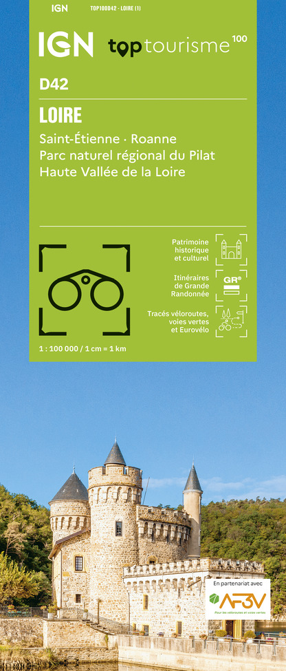
TOP100D42 - LOIRE SAINT-ÉTIENNE ROANNE PARC NATUREL RÉGIONAL DU PILAT HAUTE VALLÉE DE LA LOIRE
Editor : IGN
Collection : TOP 100
Scale : 1:100 000
8.40€

D71 SAÔNE-ET-LOIRE
Editor : IGN
Collection : CARTES DÉPARTEMENTALES IGN
Scale : 1:150 000
5.90€

D42-43 LOIRE HAUTE-LOIRE
Editor : IGN
Collection : CARTES DÉPARTEMENTALES IGN
Scale : 1:150 000
5.90€

D03-63 ALLIER PUY-DE-DÔME
Editor : IGN
Collection : CARTES DÉPARTEMENTALES IGN
Scale : 1:150 000
5.90€

NR09 BOURGOGNE FRANCHE-COMTÉ
Editor : IGN
Collection : CARTES RÉGIONALES IGN
Scale : 1:250 000
6.80€

EUROPE
Editor : IGN
Collection : DÉCOUVERTE DES PAYS DU MONDE IGN
Scale : 1:2 500 000
7.00€
Data author

proposed by
Pays de Lapalisse
9 place Charles Bécaud 03120 LAPALISSE France
Ratings and reviews
To see around