Alert
Alerts
Description
Map
Ratings and reviews
See around
Site archéologique de la Fontaine Saint-Denis

Description
Former castle of the count of Evreux, of which the walls have been restored. Medieval tower with view-point dominating the Seine Valley and pathway around walls with drawbridge. Inside the walls, remnants of wood store and old chapel. At the foot of the site,an old washhouse has been completely restored.
Technical Information
Lat, Lng
49.50047620.5840293
Coordinates copied
Point of Interest updated on 01/02/2025
Altimetric profile
Additional information
Website
Author
Office de tourisme Caux-Seine Normandie tourisme
Contact
Telephone : 02 32 84 55 00
IGN cards

1810SB - BOLBEC LILLEBONNE
Editor : IGN
Collection : TOP 25 ET SÉRIE BLEUE
Scale : 1:25 000
13.90€

1811OT - PONT-AUDEMER TANCARVILLE PNR DES BOUCLES DE LA SEINE NORMANDE
Editor : IGN
Collection : TOP 25 ET SÉRIE BLEUE
Scale : 1:25 000
13.90€

107 ROUEN LE HAVRE CÔTE D'ALBÂTRE BOUCLES DE LA SEINE NORMANDE
Editor : IGN
Collection : TOP 100
Scale : 1:100 000
8.40€

D27-76 EURE SEINE-MARITIME
Editor : IGN
Collection : CARTES DÉPARTEMENTALES IGN
Scale : 1:150 000
5.90€

D14-61 CALVADOS ORNE
Editor : IGN
Collection : CARTES DÉPARTEMENTALES IGN
Scale : 1:150 000
5.90€

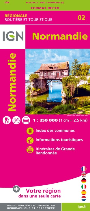
NR02 NORMANDIE
Editor : IGN
Collection : CARTES RÉGIONALES IGN
Scale : 1:250 000
6.80€

801 FRANCE NORD OUEST
Editor : IGN
Collection : CARTES NATIONALES IGN
Scale : 1:320 000
6.10€

EUROPE
Editor : IGN
Collection : DÉCOUVERTE DES PAYS DU MONDE IGN
Scale : 1:2 500 000
7.00€
Data author
Ratings and reviews
To see around


