Alert
Alerts
Description
Map
Ratings and reviews
See around
St Michel de Montaigne -Lac de Gurson
Description
Départ : au stop à côté de l’église de St Michel.
- Prenez la route à gauche (D9) et continuez tout droit.
- A quelques kilomètres, quittez la D9 à droite direction « le Fourquet ».
- A « Papassus » tournez à gauche.
- A l’intersection prenez à gauche vers Montpeyroux.
- Prenez la prochaine à gauche sous le château, puis contournez le en prenant sur la droite avant d’arrivez dans le village.
Technical Information
Lat, Lng
44.87420.0304
Coordinates copied
Uncertain state
Point of Interest updated on 01/01/1970
This point of interest hasn't been updated recently, which could compromise the reliability of this information. We recommend that you inquire and take all necessary precautions. If you're the author, please verify your information.
Altimetric profile
IGN cards
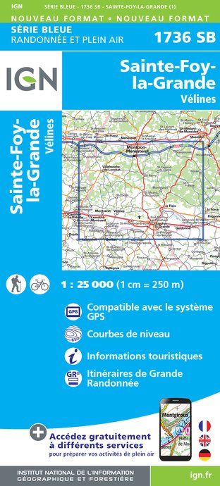
1736SB - SAINTE-FOY-LA-GRANDE VÉLINES
Editor : IGN
Collection : TOP 25 ET SÉRIE BLEUE
Scale : 1:25 000
13.90€

153 PERIGUEUX BERGERAC PÉRIGORD
Editor : IGN
Collection : TOP 100
Scale : 1:100 000
8.40€

D46-47 LOT LOT-ET-GARONNE
Editor : IGN
Collection : CARTES DÉPARTEMENTALES IGN
Scale : 1:150 000
5.90€
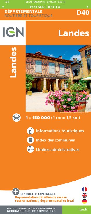
D40 LANDES
Editor : IGN
Collection : CARTES DÉPARTEMENTALES IGN
Scale : 1:150 000
5.90€

D24 DORDOGNE
Editor : IGN
Collection : CARTES DÉPARTEMENTALES IGN
Scale : 1:150 000
5.90€

D33 GIRONDE
Editor : IGN
Collection : CARTES DÉPARTEMENTALES IGN
Scale : 1:150 000
5.90€

EUROPE
Editor : IGN
Collection : DÉCOUVERTE DES PAYS DU MONDE IGN
Scale : 1:2 500 000
7.00€
Data author

proposed by
Dordogne
24000 France
Ratings and reviews
To see around