Alert
Alerts
Description
Map
Ratings and reviews
See around
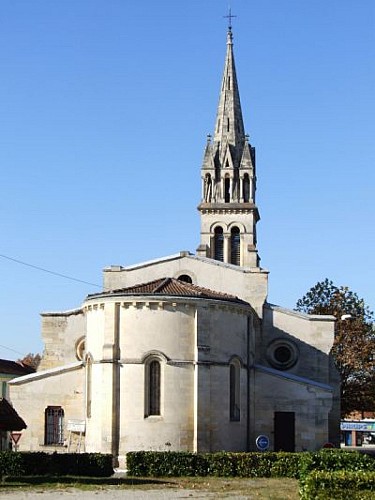
Belin centre
Credit
: PNRLG
Description
Filer sur la D110 jusqu’à atteindre L’Eyre au pont de Mesplet (200 m après l’intersection avec la route forestière venant de Mons). Plage de sable ombragée idéale pour la détente et pour y tremper les pieds à la belle saison. Rouler pour rejoindre le village à 1.5 km. Filer jusqu’au croisement de la RD 1010 (ex
RN 10). Prendre à gauche sur 1,5 km, passer devant La Maison du Parc et descendre vers le bourg de BELIN. Commerces, cafés, ombre sous les platanes. Prendre la rue à droite après l’église de Belin. Abri et toilettes publiques derrière l’église, (13.6 km parcourus hors option) Traverser la place et poursuivre tout droit par la rue de l’abbé Gaillard.
Technical Information
Lat, Lng
44.4909014-0.7911596
Coordinates copied
Uncertain state
Point of Interest updated on 01/01/1970
This point of interest hasn't been updated recently, which could compromise the reliability of this information. We recommend that you inquire and take all necessary precautions. If you're the author, please verify your information.
Altimetric profile
IGN cards

1438SB - BELIN-BÉLIET GUJAN-MESTRAS
Editor : IGN
Collection : TOP 25 ET SÉRIE BLEUE
Scale : 1:25 000
13.90€

152 BORDEAUX MONT DE MARSAN PNR DES LANDES DE GASCOGNE
Editor : IGN
Collection : TOP 100
Scale : 1:100 000
8.40€
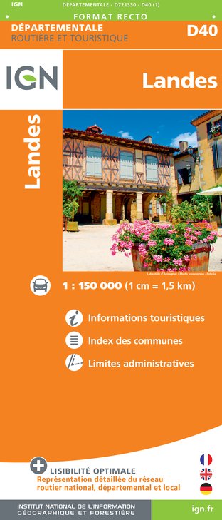
D40 LANDES
Editor : IGN
Collection : CARTES DÉPARTEMENTALES IGN
Scale : 1:150 000
5.90€

D33 GIRONDE
Editor : IGN
Collection : CARTES DÉPARTEMENTALES IGN
Scale : 1:150 000
5.90€

NR10 NOUVELLE-AQUITAINE RECTO /VERSO LIMOUSIN POITOU
Editor : IGN
Collection : CARTES RÉGIONALES IGN
Scale : 1:250 000
6.80€

NR11 NOUVELLE-AQUITAINE RECTO/VERSO BASSIN AQUITAIN
Editor : IGN
Collection : CARTES RÉGIONALES IGN
Scale : 1:250 000
6.80€

EUROPE
Editor : IGN
Collection : DÉCOUVERTE DES PAYS DU MONDE IGN
Scale : 1:2 500 000
7.00€
Data author

proposed by
Parc Naturel Régional des Landes de Gascogne
33830 France
Ratings and reviews
To see around