Alert
Alerts


Description
Map
Ratings and reviews
See around
Etape 23
Description
At the intersection, turn right onto the main road and walk until the stop sign.
At the stop sign, cross the D244 road to continue on the other side onto the “Tuilerie” road.
Keep walking, crossing the Ch. Bayard and walk to “Arvouet”small village.
At the Stop, next to the picnic tables, turn right and follow the direction of Montagne.
Go up the road until the next junction with a path on the left.
This path takes you past Ch. des Tours and takes you back to point no. 3 on the Labatut road.
Go to the right to return to the D244 and at the stop sign, turn left to return to the Montagne church.
Technical Information
Lat, Lng
44.935694-0.102739
Coordinates copied
Point of Interest updated on 30/05/2024
Altimetric profile
IGN cards
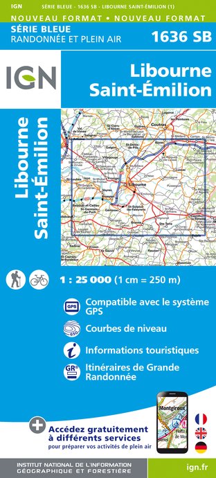
1636SB - LIBOURNE SAINT-ÉMILION
Editor : IGN
Collection : TOP 25 ET SÉRIE BLEUE
Scale : 1:25 000
13.90€

153 PERIGUEUX BERGERAC PÉRIGORD
Editor : IGN
Collection : TOP 100
Scale : 1:100 000
8.40€

D46-47 LOT LOT-ET-GARONNE
Editor : IGN
Collection : CARTES DÉPARTEMENTALES IGN
Scale : 1:150 000
5.90€

D33 GIRONDE
Editor : IGN
Collection : CARTES DÉPARTEMENTALES IGN
Scale : 1:150 000
5.90€

D24 DORDOGNE
Editor : IGN
Collection : CARTES DÉPARTEMENTALES IGN
Scale : 1:150 000
5.90€

EUROPE
Editor : IGN
Collection : DÉCOUVERTE DES PAYS DU MONDE IGN
Scale : 1:2 500 000
7.00€
Data author

Ratings and reviews
To see around