Alert
Alerts


Description
Map
Ratings and reviews
See around
Etape 11
Description
Stay on this path, then turn right at the green sign. Continue straight until the end. Then turn left and carry on (chemin de la Dodogne) up to the next junction where you’ll find Ch. des Faures. At the end of the path, continue on the right. The path named "route de Faure" will lead you to the D21 road. From there, you can admire the valley and the Château de Monbadon.
Technical Information
Lat, Lng
44.948315-0.034794
Coordinates copied
Point of Interest updated on 27/05/2024
Altimetric profile
IGN cards
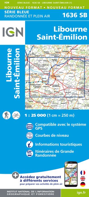
1636SB - LIBOURNE SAINT-ÉMILION
Editor : IGN
Collection : TOP 25 ET SÉRIE BLEUE
Scale : 1:25 000
13.90€

153 PERIGUEUX BERGERAC PÉRIGORD
Editor : IGN
Collection : TOP 100
Scale : 1:100 000
8.40€

D46-47 LOT LOT-ET-GARONNE
Editor : IGN
Collection : CARTES DÉPARTEMENTALES IGN
Scale : 1:150 000
5.90€

D33 GIRONDE
Editor : IGN
Collection : CARTES DÉPARTEMENTALES IGN
Scale : 1:150 000
5.90€

D24 DORDOGNE
Editor : IGN
Collection : CARTES DÉPARTEMENTALES IGN
Scale : 1:150 000
5.90€

EUROPE
Editor : IGN
Collection : DÉCOUVERTE DES PAYS DU MONDE IGN
Scale : 1:2 500 000
7.00€
Data author

Ratings and reviews
To see around