Alert
Alerts
Description
Map
Ratings and reviews
See around
Cabane du Lurien

Credit
: Jean-Pierre Dupouy
Description
Au-dessus s’ouvre le vallon du Lurien. Le sentier remonte vers le fond du vallon en direction d’une cascade. Derrière un gros bloc sur la droite, on peut voir une première cabane à côté des ruines de l’ancienne, détruite par une avalanche. Continuer le long du torrent pour passer un petit ressaut, qui donne accès à un premier petit plateau.
Le sentier jusqu’ici bien marqué devient moins évident dans la pelouse, mais il est très bien indiqué par des cairns. Il s’infléchit sur la gauche avant d’attaquer le deuxième ressaut un peu raide. Remonter le long du talweg pour déboucher sur un replat.
Technical Information
Lat, Lng
42.874471-0.384061
Coordinates copied
Uncertain state
Point of Interest updated on 01/01/1970
This point of interest hasn't been updated recently, which could compromise the reliability of this information. We recommend that you inquire and take all necessary precautions. If you're the author, please verify your information.
Altimetric profile
IGN cards

1647OTR - VIGNEMALE RÉSISTANTE OSSAU ARRENS CAUTERETS PN DES PYRENEES
Editor : IGN
Collection : TOP 25 RÉSISTANTE
Scale : 1:25 000
17.20€

1547OTR - OSSAU VALLÉE D'ASPE RESISTANTE PN DES PYRÉNÉES
Editor : IGN
Collection : TOP 25 RÉSISTANTE
Scale : 1:25 000
17.20€

1547OT - OSSAU VALLÉE D'ASPE PN DES PYRÉNÉES
Editor : IGN
Collection : TOP 25 ET SÉRIE BLEUE
Scale : 1:25 000
13.90€

1647OT - VIGNEMALE OSSAU CAUTERETS
Editor : IGN
Collection : TOP 25 ET SÉRIE BLEUE
Scale : 1:25 000
13.90€

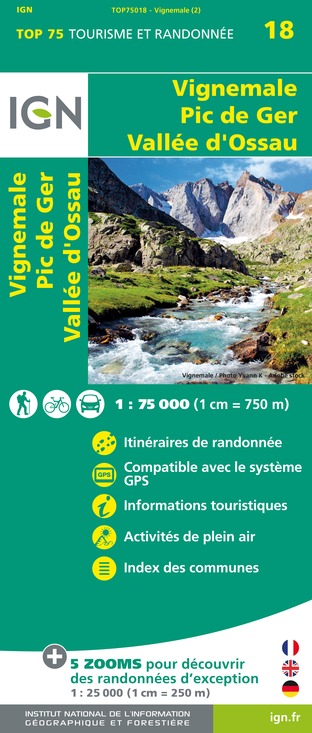
TOP75018 - VIGNEMALE PIC DE GER VALLEE D'OSSAU
Editor : IGN
Collection : TOP 75
Scale : 1:75 000
9.80€

TOP100D64 - PYRÉNÉES-ATLANTIQUES PAU BAYONNE BIARRITZ PAYS BASQUE BÉARN
Editor : IGN
Collection : TOP 100
Scale : 1:100 000
8.40€

TOP100D65 - HAUTES-PYRÉNÉES TARBES LOURDES GAVARNIE NÉOUVIELLE PARC NATIONAL DES PYRÉNÉES
Editor : IGN
Collection : TOP 100
Scale : 1:100 000
8.40€

89030 - TRAVERSEE DES PYRENEES GR10®
Editor : IGN
Collection : DECOUVERTE DES CHEMINS
Scale : 1:100 000
9.10€

D64 PYRÉNÉES-ATLANTIQUES
Editor : IGN
Collection : CARTES DÉPARTEMENTALES IGN
Scale : 1:150 000
5.90€

NR10 NOUVELLE-AQUITAINE RECTO /VERSO LIMOUSIN POITOU
Editor : IGN
Collection : CARTES RÉGIONALES IGN
Scale : 1:250 000
6.80€

NR11 NOUVELLE-AQUITAINE RECTO/VERSO BASSIN AQUITAIN
Editor : IGN
Collection : CARTES RÉGIONALES IGN
Scale : 1:250 000
6.80€

EUROPE
Editor : IGN
Collection : DÉCOUVERTE DES PAYS DU MONDE IGN
Scale : 1:2 500 000
7.00€
Data author

proposed by
OT Vallée d'Ossau Pyrénées
64440 France
Ratings and reviews
To see around