Alert
Alerts
Description
Map
Ratings and reviews
See around
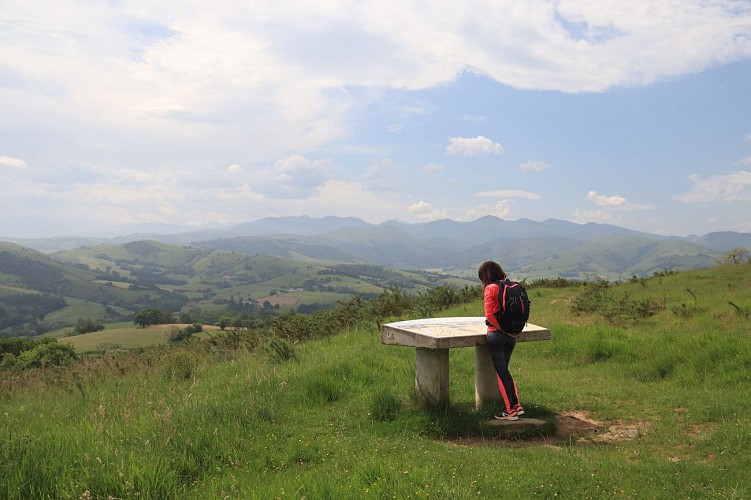
Puis la chapelle Saint-Nicolas
Credit
: Mendi Lagunak
Description
Depuis la chapelle, aller en direction de la table d'orientation et suivre le balisage du GR65. La piste caillouteuse descend jusqu'à rejoindre un large chemin qui arrive de la droite. Poursuivre tout droit. Le cheminement longe une forêt et tourne à droite en direction de la chapelle d'Haranbeltz. Traverser une fougeraie avant de rejoindre une nouvelle piste et poursuivre en descente. Continuer sur cette piste jusqu'à rejoindre le quartier d'Haranbeltz. Continuer sur la route pour atteindre la chapelle Saint-Nicolas.
Technical Information
Lat, Lng
43.2840235-1.0432103
Coordinates copied
Uncertain state
Point of Interest updated on 01/01/1970
This point of interest hasn't been updated recently, which could compromise the reliability of this information. We recommend that you inquire and take all necessary precautions. If you're the author, please verify your information.
Altimetric profile
IGN cards
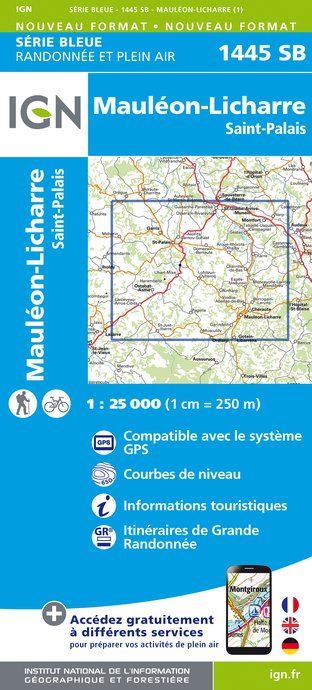
1445SB - MAULÉON-LICHARRE SAINT-PALAIS
Editor : IGN
Collection : TOP 25 ET SÉRIE BLEUE
Scale : 1:25 000
13.90€

TOP75023 - PAYS BASQUE
Editor : IGN
Collection : TOP 75
Scale : 1:75 000
9.80€

166 DAX BAYONNE PAYS BASQUE
Editor : IGN
Collection : TOP 100
Scale : 1:100 000
8.40€

TOP100D64 - PYRÉNÉES-ATLANTIQUES PAU BAYONNE BIARRITZ PAYS BASQUE BÉARN
Editor : IGN
Collection : TOP 100
Scale : 1:100 000
8.40€

89021 - ST-JACQUES-DE-COMPOSTELLE GR®65-2 DE MOISSAC A RONCEVAUX
Editor : IGN
Collection : DECOUVERTE DES CHEMINS
Scale : 1:100 000
9.10€

D64 PYRÉNÉES-ATLANTIQUES
Editor : IGN
Collection : CARTES DÉPARTEMENTALES IGN
Scale : 1:150 000
5.90€

NR10 NOUVELLE-AQUITAINE RECTO /VERSO LIMOUSIN POITOU
Editor : IGN
Collection : CARTES RÉGIONALES IGN
Scale : 1:250 000
6.80€

NR11 NOUVELLE-AQUITAINE RECTO/VERSO BASSIN AQUITAIN
Editor : IGN
Collection : CARTES RÉGIONALES IGN
Scale : 1:250 000
6.80€

EUROPE
Editor : IGN
Collection : DÉCOUVERTE DES PAYS DU MONDE IGN
Scale : 1:2 500 000
7.00€
Data author

proposed by
Office de Tourisme Pays Basque
64502 France
Ratings and reviews
To see around