Alert
Alerts
Description
Map
Ratings and reviews
See around
Place de la Libération-Chapelle Saint Sour
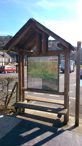
Credit
: MB
Description
Depuis le panneau d'appel situé sur le parking de la Place de la Libération, traverser celle-ci en direction de la rivière.
Emprunter le "Pont Vieux" et sur l'autre berge, traverser la route. Monter en face rue Margontier.
Quelques mètres plus haut, tourner à droite et poursuivre tout droit par la rue Basse.
Arrivé à la route, traverser et prendre en face la rue Marcel Michel.
Longer le Centre Culturel.
500m plus loin, prendre à gauche. Le chemin s'élève vers la falaise.
Ensuite, suivre les bornes en bois surmontées d'un capuchon de couleur jaune jusqu'à apercevoir, sur la gauche, la chapelle Saint Sour.
Technical Information
Lat, Lng
45.129611.30414
Coordinates copied
Uncertain state
Point of Interest updated on 01/01/1970
This point of interest hasn't been updated recently, which could compromise the reliability of this information. We recommend that you inquire and take all necessary precautions. If you're the author, please verify your information.
Altimetric profile
IGN cards

2035SB - TERRASSON-LAVILLEDIEU MONTIGNAC GROTTE DE LASCAUX
Editor : IGN
Collection : TOP 25 ET SÉRIE BLEUE
Scale : 1:25 000
13.90€

154 BRIVE-LA-GAILLARDE TULLE FIGEAC PNR DES CAUSSES DU QUERCY (NORD)
Editor : IGN
Collection : TOP 100
Scale : 1:100 000
8.40€

D24 DORDOGNE
Editor : IGN
Collection : CARTES DÉPARTEMENTALES IGN
Scale : 1:150 000
5.90€

D15-19 CANTAL CORREZE
Editor : IGN
Collection : CARTES DÉPARTEMENTALES IGN
Scale : 1:150 000
5.90€

EUROPE
Editor : IGN
Collection : DÉCOUVERTE DES PAYS DU MONDE IGN
Scale : 1:2 500 000
7.00€
Data author

proposed by
Vézère Périgord Noir
24120 France
Ratings and reviews
To see around