Alert
Alerts
Description
Map
Ratings and reviews
See around
Etape 2

Credit
: MB
Description
Descendre le chemin jusqu'au bout et suivre le balisage jaune, longez longuement le Taravellou, Le Taravellou prend sa source vers 256 mètres d'altitude, proche de Badefols d'ans et à quelque mètre du lieu dit " La Cipière"
Technical Information
Lat, Lng
45.179981.17792
Coordinates copied
Uncertain state
Point of Interest updated on 01/01/1970
This point of interest hasn't been updated recently, which could compromise the reliability of this information. We recommend that you inquire and take all necessary precautions. If you're the author, please verify your information.
Altimetric profile
IGN cards

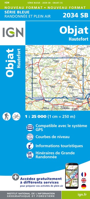
2034SB - OBJAT HAUTEFORT
Editor : IGN
Collection : TOP 25 ET SÉRIE BLEUE
Scale : 1:25 000
13.90€

2035SB - TERRASSON-LAVILLEDIEU MONTIGNAC GROTTE DE LASCAUX
Editor : IGN
Collection : TOP 25 ET SÉRIE BLEUE
Scale : 1:25 000
13.90€

154 BRIVE-LA-GAILLARDE TULLE FIGEAC PNR DES CAUSSES DU QUERCY (NORD)
Editor : IGN
Collection : TOP 100
Scale : 1:100 000
8.40€

D15-19 CANTAL CORREZE
Editor : IGN
Collection : CARTES DÉPARTEMENTALES IGN
Scale : 1:150 000
5.90€

D24 DORDOGNE
Editor : IGN
Collection : CARTES DÉPARTEMENTALES IGN
Scale : 1:150 000
5.90€

EUROPE
Editor : IGN
Collection : DÉCOUVERTE DES PAYS DU MONDE IGN
Scale : 1:2 500 000
7.00€
Data author

proposed by
Vézère Périgord Noir
24120 France
Ratings and reviews
To see around