Alert
Alerts
Description
Map
Ratings and reviews
See around
Du départ au lieu-dit "Les Bétoux"
Description
Monter la route de chabrouillas, direction Pommarède, en laissant l’impasse de la cabane sur la gauche. Cheminer sur la petite route pendant environ 900 m puis, 50 m après le passage au-dessus du cours d’eau, tourner à droite dans le bois comme indiqué sur la flèche en bois.
Technical Information
Lat, Lng
44.94231310.4062172
Coordinates copied
Uncertain state
Point of Interest updated on 01/01/1970
This point of interest hasn't been updated recently, which could compromise the reliability of this information. We recommend that you inquire and take all necessary precautions. If you're the author, please verify your information.
Altimetric profile
IGN cards
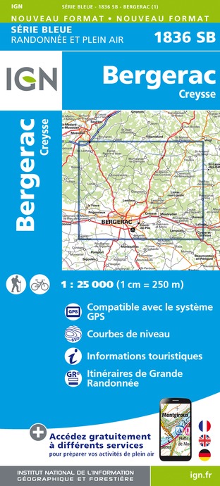
1836SB - BERGERAC CREYSSE
Editor : IGN
Collection : TOP 25 ET SÉRIE BLEUE
Scale : 1:25 000
13.90€

153 PERIGUEUX BERGERAC PÉRIGORD
Editor : IGN
Collection : TOP 100
Scale : 1:100 000
8.40€

D46-47 LOT LOT-ET-GARONNE
Editor : IGN
Collection : CARTES DÉPARTEMENTALES IGN
Scale : 1:150 000
5.90€

D24 DORDOGNE
Editor : IGN
Collection : CARTES DÉPARTEMENTALES IGN
Scale : 1:150 000
5.90€

EUROPE
Editor : IGN
Collection : DÉCOUVERTE DES PAYS DU MONDE IGN
Scale : 1:2 500 000
7.00€
Data author

proposed by
Pays de Bergerac, Vignoble & Bastides
24100 France
Ratings and reviews
To see around