Alert
Alerts


Description
Map
Ratings and reviews
See around
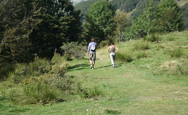
Anciens blockhaus
Credit
: © CDT64
Description
Du col, suivre brièvement à droite la direction Candanchú puis emprunter à gauche le sentier qui contourne la station par le bas. Rejoindre quelques instants la route pour passer un pont, puis traverser des pâturages. Croiser une 4 voies et remonter légèrement par une piste pour trouver à gauche l’amorce d’un sentier courant d’abord à flanc puis descendant rapidement le long d’anciens blockhaus et débouchant sur une piste.
Technical Information
Lat, Lng
42.795608-0.524945
Coordinates copied
Uncertain state
Point of Interest updated on 01/01/1970
This point of interest hasn't been updated recently, which could compromise the reliability of this information. We recommend that you inquire and take all necessary precautions. If you're the author, please verify your information.
Altimetric profile
IGN cards
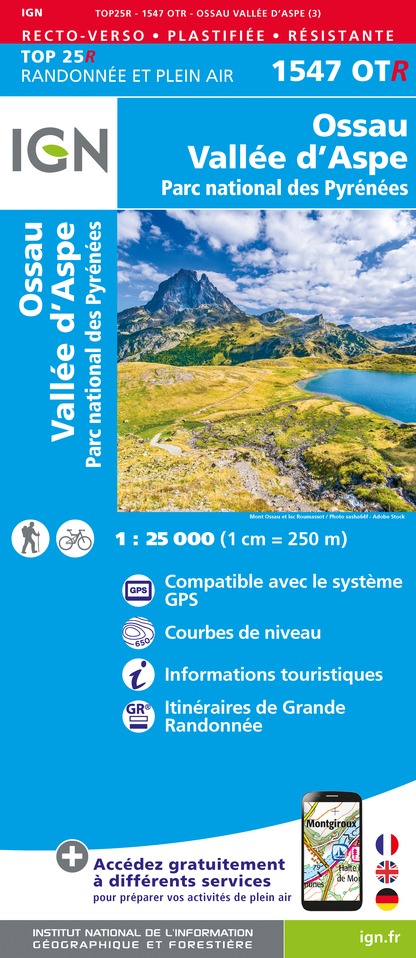
1547OTR - OSSAU VALLÉE D'ASPE RESISTANTE PN DES PYRÉNÉES
Editor : IGN
Collection : TOP 25 RÉSISTANTE
Scale : 1:25 000
17.20€
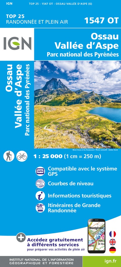
1547OT - OSSAU VALLÉE D'ASPE PN DES PYRÉNÉES
Editor : IGN
Collection : TOP 25 ET SÉRIE BLEUE
Scale : 1:25 000
13.90€
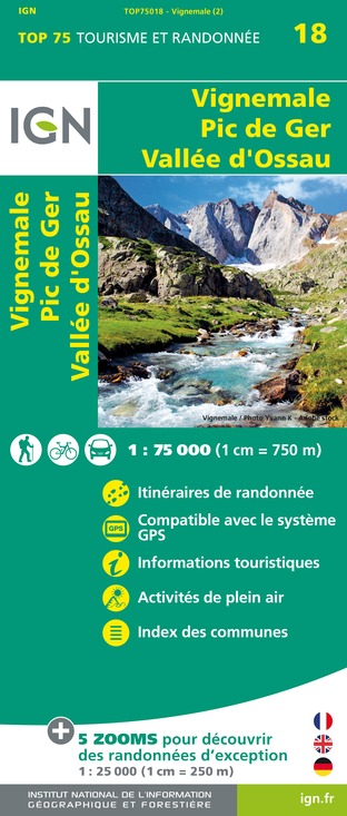
TOP75018 - VIGNEMALE PIC DE GER VALLEE D'OSSAU
Editor : IGN
Collection : TOP 75
Scale : 1:75 000
9.80€

TOP100D64 - PYRÉNÉES-ATLANTIQUES PAU BAYONNE BIARRITZ PAYS BASQUE BÉARN
Editor : IGN
Collection : TOP 100
Scale : 1:100 000
8.40€

89030 - TRAVERSEE DES PYRENEES GR10®
Editor : IGN
Collection : DECOUVERTE DES CHEMINS
Scale : 1:100 000
9.10€

D64 PYRÉNÉES-ATLANTIQUES
Editor : IGN
Collection : CARTES DÉPARTEMENTALES IGN
Scale : 1:150 000
5.90€

NR11 NOUVELLE-AQUITAINE RECTO/VERSO BASSIN AQUITAIN
Editor : IGN
Collection : CARTES RÉGIONALES IGN
Scale : 1:250 000
6.80€

NR10 NOUVELLE-AQUITAINE RECTO /VERSO LIMOUSIN POITOU
Editor : IGN
Collection : CARTES RÉGIONALES IGN
Scale : 1:250 000
6.80€

EUROPE
Editor : IGN
Collection : DÉCOUVERTE DES PAYS DU MONDE IGN
Scale : 1:2 500 000
7.00€
Data author

proposed by
Communauté de Communes du Haut-Béarn
12 place Jaca 64400 Oloron-Sainte-Marie Cedex France
Ratings and reviews
To see around