Alert
Alerts
Description
Map
Ratings and reviews
See around
The calades of Villard

Credit
: PNV - ROULAND Patrick
Description
This 50 metre calade in the hamlet of Villard comprises 13 “coltsfeet”. This arrangement of stones set without mortar, facilitated the passage of mule caravans in this steeper portion of the path. Between 2010 and 2014, a joint operation between the town of Termignon and the Vanoise National Park, through the involvement of the Park workers and subsidies granted to the town, resulted in the clearing of about ten cubic metres of land and the reconstruction of dry stone walls.
Technical Information
Lat, Lng
45.2990456.8169407
Coordinates copied
Point of Interest updated on 26/03/2025
Altimetric profile
IGN cards

3634OTR - VAL-CENIS RESISTANTE CHARBONNEL
Editor : IGN
Collection : TOP 25 RÉSISTANTE
Scale : 1:25 000
17.20€

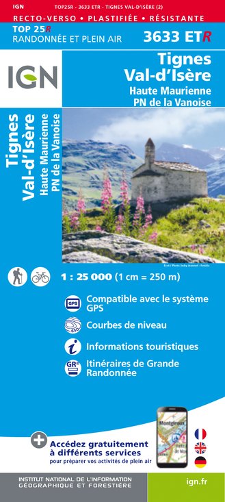
3633ETR - TIGNES VAL-D'ISÈRE RESISTANTE HAUTE MAURIENNE PARC NATIONAL DE LA VANOISE
Editor : IGN
Collection : TOP 25 RÉSISTANTE
Scale : 1:25 000
17.20€

3633ET - TIGNES VAL-D'ISÈRE HAUTE MAURIENNE PARC NATIONAL DE LA VANOISE
Editor : IGN
Collection : TOP 25 ET SÉRIE BLEUE
Scale : 1:25 000
13.90€

3634OT - VAL CENIS CHARBONNEL
Editor : IGN
Collection : TOP 25 ET SÉRIE BLEUE
Scale : 1:25 000
13.90€

TOP75003 - MASSIF DE LA VANOISE
Editor : IGN
Collection : TOP 75
Scale : 1:75 000
9.80€

TOP100D73 - SAVOIE CHAMBÉRY ALBERTVILLE PARC NATIONAL DE LA VANOISE PNR DU MASSIF DES BAUGES
Editor : IGN
Collection : TOP 100
Scale : 1:100 000
8.40€

202 JURA ALPES DU NORD
Editor : IGN
Collection : TOP 200
Scale : 1:200 000
6.80€

D38 ISÈRE
Editor : IGN
Collection : CARTES DÉPARTEMENTALES IGN
Scale : 1:150 000
5.90€

NR15 AUVERGNE-RHÔNE-ALPES RECTO/VERSO MASSIF ALPIN
Editor : IGN
Collection : CARTES RÉGIONALES IGN
Scale : 1:250 000
6.80€

NR14 AUVERGNE-RHÔNE-ALPES RECTO/VERSO MASSIF CENTRAL
Editor : IGN
Collection : CARTES RÉGIONALES IGN
Scale : 1:250 000
6.80€

EUROPE
Editor : IGN
Collection : DÉCOUVERTE DES PAYS DU MONDE IGN
Scale : 1:2 500 000
7.00€
Data author

proposed by
Parc national de la Vanoise
Ratings and reviews
To see around