Alert
Alerts
Départ
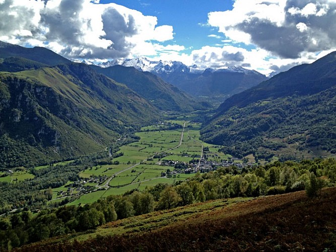
Description
En face de l'église, prendre la rue montant au nord. Passer le cimetière et au bout de la rue, remonter le chemin à gauche jusqu'à la route départementale. Prendre à droite et à gauche après un abreuvoir. Suivre le chemin entre des murets. Passer un portail et continuer à monter.
0h40 À droite, prendre un chemin puis une piste. Passer un portail et continuer à monter environ 1km jusqu'à un grand virage à gauche .
1h10 À gauche, quitter la piste. Monter sur 200m et prendre à droite. Continuer sur un chemin à flanc de montagne.
1h45 À droite, quitter le chemin principal et monter raide.
2h15 Du col, descendre puis remonter dans une doline. Prendre un vieux sentier qui démarre entre des murets et descend dans la forêt.
Technical Information
Altimetric profile
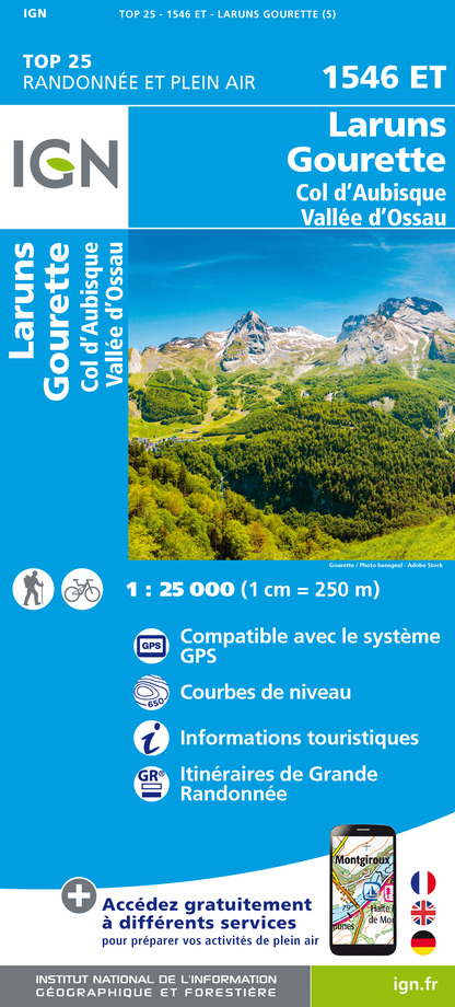
IGN cards


Data author
