Alert
Alerts
Description
Map
Ratings and reviews
See around
Le Caudeau

Credit
: la cab
Description
Le Caudeau (en occitan Caudau) prend sa source au nord de Sainte-Alvère et descend vers le sud-ouest jusqu'à Bergerac avant de se jeter dans la Dordogne. Long de 38 km, il reçoit de nombreux ruisselets des combes boisées près de sa source, et ses affluents sont la Louyre et la Seyre. Dans son parcours il traverse aussi bien des milieux naturels et sauvages que les canaux urbains du centre ville de Bergerac.
Technical Information
Lat, Lng
44.89680750.5901157
Coordinates copied
Point of Interest updated on 08/11/2024
Altimetric profile
IGN cards
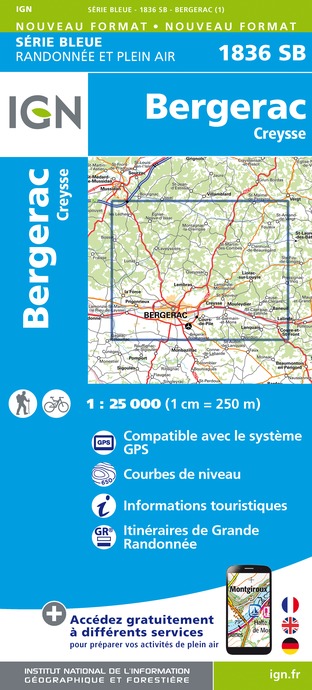
1836SB - BERGERAC CREYSSE
Editor : IGN
Collection : TOP 25 ET SÉRIE BLEUE
Scale : 1:25 000
13.90€

153 PERIGUEUX BERGERAC PÉRIGORD
Editor : IGN
Collection : TOP 100
Scale : 1:100 000
8.40€

D46-47 LOT LOT-ET-GARONNE
Editor : IGN
Collection : CARTES DÉPARTEMENTALES IGN
Scale : 1:150 000
5.90€

D24 DORDOGNE
Editor : IGN
Collection : CARTES DÉPARTEMENTALES IGN
Scale : 1:150 000
5.90€

EUROPE
Editor : IGN
Collection : DÉCOUVERTE DES PAYS DU MONDE IGN
Scale : 1:2 500 000
7.00€
Data author

proposed by
Pays de Bergerac, Vignoble & Bastides
24100 France
Ratings and reviews
To see around