Alert
Alerts
Description
Map
Ratings and reviews
See around
Le port de Blaye

Credit
: David Remazeilles
Description
L'estey de Blaye constitue l'emplacement originel du port. Un chenal a été creusé dans le cours du ruisseau Saugeron. A la fois port de transit et de cabotage, l'installation du chemin de fer au cours du XIXe siècle a également permis le renforcement de son activité et de son rôle de ravitaillement pour l'ensemble de la région.
Technical Information
Lat, Lng
45.126841-0.662941
Coordinates copied
Point of Interest updated on 12/01/2025
Altimetric profile
IGN cards

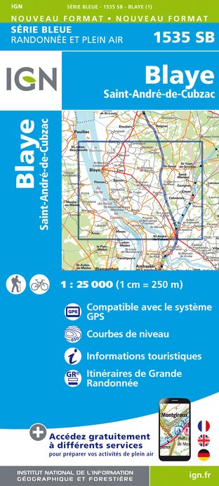
1535SB - BLAYE SAINT-ANDRÉ-DE-CUBZAC
Editor : IGN
Collection : TOP 25 ET SÉRIE BLEUE
Scale : 1:25 000
13.90€

145 BORDEAUX ARCACHON GIRONDE MÉDOC
Editor : IGN
Collection : TOP 100
Scale : 1:100 000
8.40€

D33 GIRONDE
Editor : IGN
Collection : CARTES DÉPARTEMENTALES IGN
Scale : 1:150 000
5.90€

D16-17 CHARENTE CHARENTE-MARITIME
Editor : IGN
Collection : CARTES DÉPARTEMENTALES IGN
Scale : 1:150 000
5.90€

EUROPE
Editor : IGN
Collection : DÉCOUVERTE DES PAYS DU MONDE IGN
Scale : 1:2 500 000
7.00€
Data author

proposed by
Gironde Tourisme
Ratings and reviews
To see around


