Alert
Alerts
Description
Map
Ratings and reviews
See around
La formation d'un plateau

Credit
: Francine Magrou - CCVO
Description
Il y a 40 000 ans, les Pyrénées étaient couvertes de glaciers.
La glace avançait de quelques mètres par an avec l’effet
d’un rabot sur la roche sous-jacente, creusant des vallées
et déposant les rochers arrachés en d’immenses barrages
appelés moraines. 20 000 ans plus tard, le climat se
réchauffe, les grands glaciers fondent et libèrent des torrents
dévastateurs qui butent sur les moraines en formant
d’immenses lacs. Au cours du temps, les lacs se comblèrent
d’alluvions puis s’asséchèrent. Il reste aujourd’hui dans le
paysage, les traces de cette histoire glaciaire, avec de grands
plateaux et des fonds de vallée en auge.
Technical Information
Lat, Lng
43.062656-0.4579657
Coordinates copied
Point of Interest updated on 18/12/2024
Altimetric profile
IGN cards

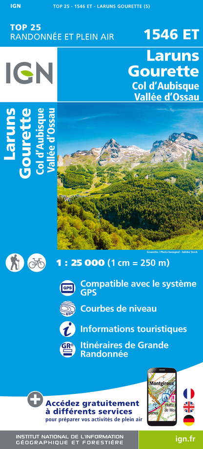
1546ET - LARUNS GOURETTE COL D'AUBISQUE - VALLEE D'OSSAU
Editor : IGN
Collection : TOP 25 ET SÉRIE BLEUE
Scale : 1:25 000
13.90€

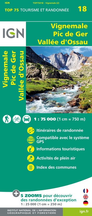
TOP75018 - VIGNEMALE PIC DE GER VALLEE D'OSSAU
Editor : IGN
Collection : TOP 75
Scale : 1:75 000
9.80€

TOP100D64 - PYRÉNÉES-ATLANTIQUES PAU BAYONNE BIARRITZ PAYS BASQUE BÉARN
Editor : IGN
Collection : TOP 100
Scale : 1:100 000
8.40€

TOP100D65 - HAUTES-PYRÉNÉES TARBES LOURDES GAVARNIE NÉOUVIELLE PARC NATIONAL DES PYRÉNÉES
Editor : IGN
Collection : TOP 100
Scale : 1:100 000
8.40€

D64 PYRÉNÉES-ATLANTIQUES
Editor : IGN
Collection : CARTES DÉPARTEMENTALES IGN
Scale : 1:150 000
5.90€

NR10 NOUVELLE-AQUITAINE RECTO /VERSO LIMOUSIN POITOU
Editor : IGN
Collection : CARTES RÉGIONALES IGN
Scale : 1:250 000
6.80€

NR11 NOUVELLE-AQUITAINE RECTO/VERSO BASSIN AQUITAIN
Editor : IGN
Collection : CARTES RÉGIONALES IGN
Scale : 1:250 000
6.80€

EUROPE
Editor : IGN
Collection : DÉCOUVERTE DES PAYS DU MONDE IGN
Scale : 1:2 500 000
7.00€
Data author

proposed by
OT Vallée d'Ossau Pyrénées
64440 France
Ratings and reviews
To see around