Alert
Alerts
Description
Map
Ratings and reviews
See around
Gourgé
Description
Gourgé, village construit sur une butte naturelle, était une halte importante sur la voie romaine Poitiers-Nantes, appelée aussi chemin de Saint-Hilaire. Son église pré-romane du Xe siècle et son pont roman du XIe sont à découvrir.
Technical Information
Lat, Lng
46.725803-0.192919
Coordinates copied
Point of Interest updated on 06/01/2025
Altimetric profile
IGN cards

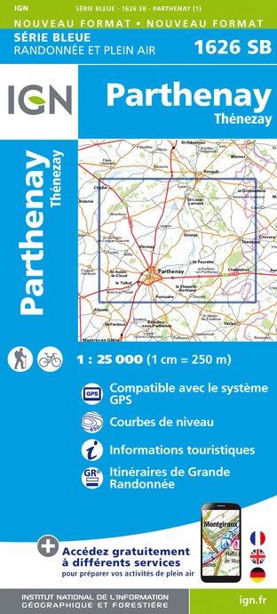
1626SB - PARTHENAY THÉNEZAY
Editor : IGN
Collection : TOP 25 ET SÉRIE BLEUE
Scale : 1:25 000
13.90€

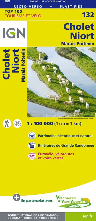
132 CHOLET NIORT MARAIS POITEVIN
Editor : IGN
Collection : TOP 100
Scale : 1:100 000
8.40€

D79-86 DEUX-SÈVRES VIENNE
Editor : IGN
Collection : CARTES DÉPARTEMENTALES IGN
Scale : 1:150 000
5.90€

D49 MAINE-ET-LOIRE
Editor : IGN
Collection : CARTES DÉPARTEMENTALES IGN
Scale : 1:150 000
5.90€

D37 INDRE-ET-LOIRE
Editor : IGN
Collection : CARTES DÉPARTEMENTALES IGN
Scale : 1:150 000
5.90€

NR07 PAYS DE LA LOIRE
Editor : IGN
Collection : CARTES RÉGIONALES IGN
Scale : 1:250 000
6.80€

801 FRANCE NORD OUEST
Editor : IGN
Collection : CARTES NATIONALES IGN
Scale : 1:320 000
6.10€

EUROPE
Editor : IGN
Collection : DÉCOUVERTE DES PAYS DU MONDE IGN
Scale : 1:2 500 000
7.00€
Data author

proposed by
PETR du Pays de Gâtine
46, boulevard Edgar Quinet 79200 PARTHENAY France
Ratings and reviews
To see around


