Alert
Alerts


Description
Map
Ratings and reviews
See around
Le col d'Aubisque

Credit
: Laurent Javelot
Description
Sur la route des Cols, sa vue panoramique à 360°, haut lieu de pastoralisme (Alt.1709 m).
Les paysages vertigineux du Col d’Aubisque constituent une excursion obligatoire : vue panoramique sur les cirques de Gourette et du Litor, notamment depuis le Soum de Grum, sommet accessible à pied depuis le col. C’est l’impératrice Eugénie, fréquentant alors
la station des Eaux-Bonnes, qui fut l’instigatrice de la construction de la “route thermale” reliant Argelès-Gazost à la vallée d’Ossau. Un lieu mythique de passage du Tour de France cycliste. " Redescendre à Laruns par la D 918.
Technical Information
Lat, Lng
42.976649-0.33988
Coordinates copied
Point of Interest updated on 16/03/2025
Altimetric profile
IGN cards
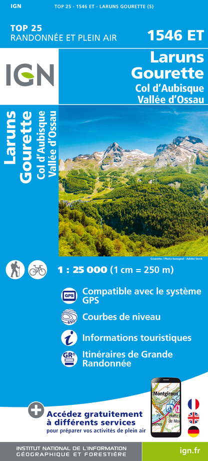
1546ET - LARUNS GOURETTE COL D'AUBISQUE - VALLEE D'OSSAU
Editor : IGN
Collection : TOP 25 ET SÉRIE BLEUE
Scale : 1:25 000
13.90€
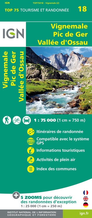
TOP75018 - VIGNEMALE PIC DE GER VALLEE D'OSSAU
Editor : IGN
Collection : TOP 75
Scale : 1:75 000
9.80€

TOP100D64 - PYRÉNÉES-ATLANTIQUES PAU BAYONNE BIARRITZ PAYS BASQUE BÉARN
Editor : IGN
Collection : TOP 100
Scale : 1:100 000
8.40€

TOP100D65 - HAUTES-PYRÉNÉES TARBES LOURDES GAVARNIE NÉOUVIELLE PARC NATIONAL DES PYRÉNÉES
Editor : IGN
Collection : TOP 100
Scale : 1:100 000
8.40€

89030 - TRAVERSEE DES PYRENEES GR10®
Editor : IGN
Collection : DECOUVERTE DES CHEMINS
Scale : 1:100 000
9.10€
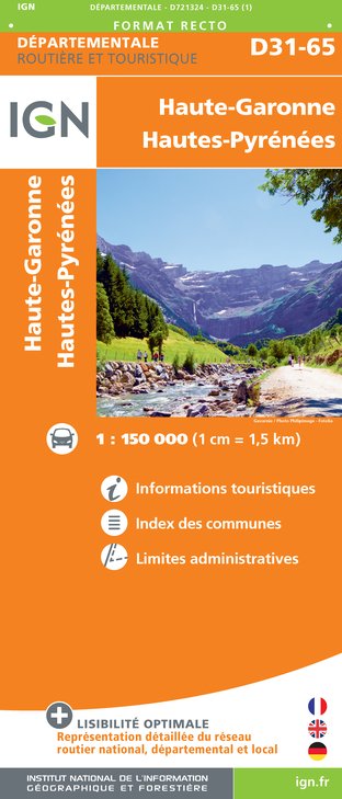
D31-65 HAUTE-GARONNE HAUTES-PYRÉNÉES
Editor : IGN
Collection : CARTES DÉPARTEMENTALES IGN
Scale : 1:150 000
5.90€

D64 PYRÉNÉES-ATLANTIQUES
Editor : IGN
Collection : CARTES DÉPARTEMENTALES IGN
Scale : 1:150 000
5.90€

NR10 NOUVELLE-AQUITAINE RECTO /VERSO LIMOUSIN POITOU
Editor : IGN
Collection : CARTES RÉGIONALES IGN
Scale : 1:250 000
6.80€

NR11 NOUVELLE-AQUITAINE RECTO/VERSO BASSIN AQUITAIN
Editor : IGN
Collection : CARTES RÉGIONALES IGN
Scale : 1:250 000
6.80€

EUROPE
Editor : IGN
Collection : DÉCOUVERTE DES PAYS DU MONDE IGN
Scale : 1:2 500 000
7.00€
Data author

proposed by
OT Vallée d'Ossau Pyrénées
64440 France
Ratings and reviews
To see around