Alert
Alerts
Description
Map
Ratings and reviews
See around
Le Palas

Credit
: Laurent Javelot
Description
Le sommet du pic Palas marque à la fois la limite entre France et Espagne et celle des Pyrénées-Atlantiques et des Hautes-Pyrénées. Faisant partie du massif du Balaïtous, fort des ses 2974m, le Palas constitue le point culminant du département 64 ! La première ascension du pic Palas a été réalisée en 1825, par les officiers géodésiens Peytier et Hossard, qui étaient partis pour faire l'ascension du Balaïtous. Jacques Orteig en fait la deuxième acension en 1871 et donne son nom à la cheminée Orteig.
Technical Information
Lat, Lng
42.84404-0.31737
Coordinates copied
Point of Interest updated on 05/06/2024
Altimetric profile
IGN cards

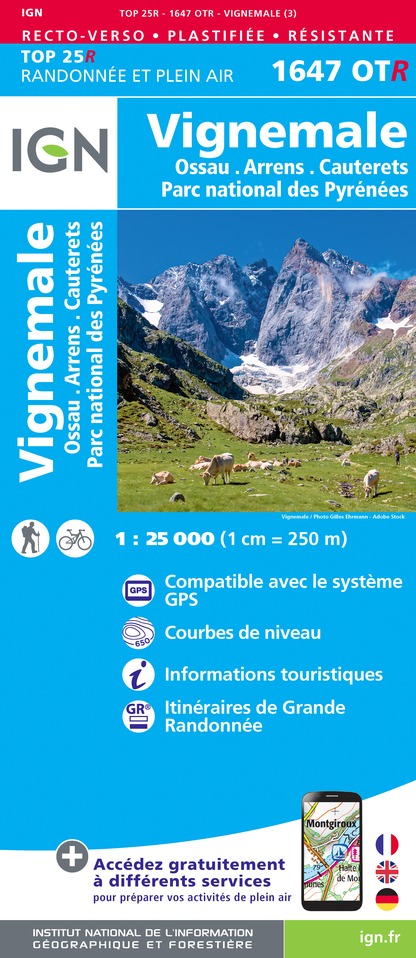
1647OTR - VIGNEMALE RÉSISTANTE OSSAU ARRENS CAUTERETS PN DES PYRENEES
Editor : IGN
Collection : TOP 25 RÉSISTANTE
Scale : 1:25 000
17.20€

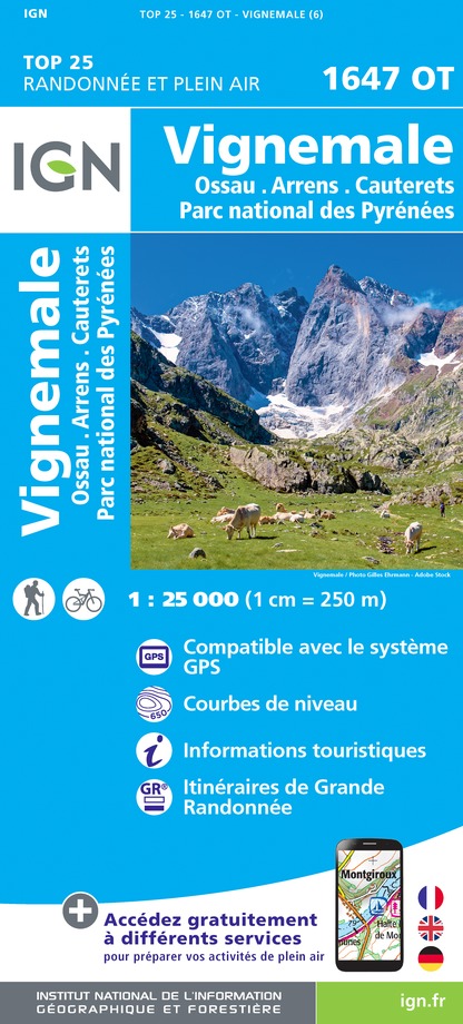
1647OT - VIGNEMALE OSSAU CAUTERETS
Editor : IGN
Collection : TOP 25 ET SÉRIE BLEUE
Scale : 1:25 000
13.90€

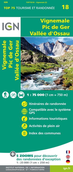
TOP75018 - VIGNEMALE PIC DE GER VALLEE D'OSSAU
Editor : IGN
Collection : TOP 75
Scale : 1:75 000
9.80€

TOP100D65 - HAUTES-PYRÉNÉES TARBES LOURDES GAVARNIE NÉOUVIELLE PARC NATIONAL DES PYRÉNÉES
Editor : IGN
Collection : TOP 100
Scale : 1:100 000
8.40€

TOP100D64 - PYRÉNÉES-ATLANTIQUES PAU BAYONNE BIARRITZ PAYS BASQUE BÉARN
Editor : IGN
Collection : TOP 100
Scale : 1:100 000
8.40€

89030 - TRAVERSEE DES PYRENEES GR10®
Editor : IGN
Collection : DECOUVERTE DES CHEMINS
Scale : 1:100 000
9.10€

D31-65 HAUTE-GARONNE HAUTES-PYRÉNÉES
Editor : IGN
Collection : CARTES DÉPARTEMENTALES IGN
Scale : 1:150 000
5.90€

D64 PYRÉNÉES-ATLANTIQUES
Editor : IGN
Collection : CARTES DÉPARTEMENTALES IGN
Scale : 1:150 000
5.90€

NR11 NOUVELLE-AQUITAINE RECTO/VERSO BASSIN AQUITAIN
Editor : IGN
Collection : CARTES RÉGIONALES IGN
Scale : 1:250 000
6.80€

NR10 NOUVELLE-AQUITAINE RECTO /VERSO LIMOUSIN POITOU
Editor : IGN
Collection : CARTES RÉGIONALES IGN
Scale : 1:250 000
6.80€

EUROPE
Editor : IGN
Collection : DÉCOUVERTE DES PAYS DU MONDE IGN
Scale : 1:2 500 000
7.00€
Data author

proposed by
OT Vallée d'Ossau Pyrénées
64440 France
Ratings and reviews
To see around