Alert
Alerts
Description
Map
Ratings and reviews
See around
Les rochers de la Houle

Credit
: SNT
Description
The River Orne runs alongside the abrupt crags, dominated by a rock referred to as the Pain de Sucre (literally sugar bread), at the extremity of the La Houle rocks with which it forms the "Route des Crêtes" (the Crest Route).
Technical Information
Lat, Lng
48.9303914-0.4698872
Coordinates copied
Point of Interest updated on 26/12/2024
Altimetric profile
Additional information
Author
Conseil Départemental du Calvados
Contact
E-mail : milieux_naturels@calvados.fr
Telephone : 02 31 79 70 45
360 visit
Visite virtuelle /Images 360° des Rochers de la Houle - Saint Omer :
goo.gl/maps/iuuno4yabnspdejca
IGN cards

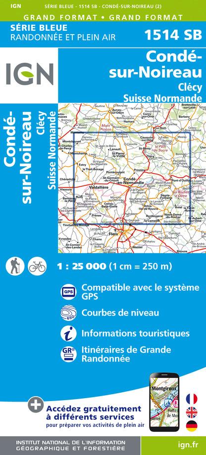
1514SB - CONDÉ-SUR-NOIREAU CLÉCY SUISSE NORMANDE
Editor : IGN
Collection : TOP 25 ET SÉRIE BLEUE
Scale : 1:25 000
13.90€

116 LAVAL FOUGÈRES PNR NORMANDIE MAINE
Editor : IGN
Collection : TOP 100
Scale : 1:100 000
8.40€

D50 MANCHE
Editor : IGN
Collection : CARTES DÉPARTEMENTALES IGN
Scale : 1:150 000
5.90€

D14-61 CALVADOS ORNE
Editor : IGN
Collection : CARTES DÉPARTEMENTALES IGN
Scale : 1:150 000
5.90€

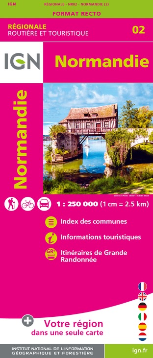
NR02 NORMANDIE
Editor : IGN
Collection : CARTES RÉGIONALES IGN
Scale : 1:250 000
6.80€

801 FRANCE NORD OUEST
Editor : IGN
Collection : CARTES NATIONALES IGN
Scale : 1:320 000
6.10€

EUROPE
Editor : IGN
Collection : DÉCOUVERTE DES PAYS DU MONDE IGN
Scale : 1:2 500 000
7.00€
Data author

proposed by
Département du Calvados
Caen France
Ratings and reviews
To see around